
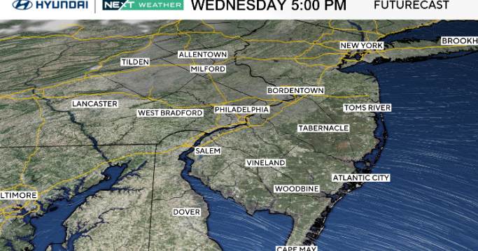
Expect plenty of sunshine on Wednesday in the Philadelphia region, with highs only reaching the low 40s for most areas. The average high is 50 degrees.
What’s NEXT
High pressure settles in through Wednesday, bringing a colder and drier air mass with overnight lows falling into the 20s. A strong cold front arrives Thursday and drives temperatures even lower, with many spots dropping into the teens by Thursday night.
By Friday, that cold air is firmly in place as a new area of low pressure forms to our south. The exact track is still uncertain, but the setup allows for the possibility of snow, especially across South Jersey and the city. Philadelphia is likely to see its first accumulating snow of the season, although it is also likely to remain light.

CBS News Philadelphia
However, if the system sharpens or shifts slightly north, a band of steadier snow could extend farther into the region, so the details will need to be watched closely. Even without much moisture, Friday stays cold with highs mostly in the 20s and 30s.
Here’s your 7-day forecast:

CBS News Philadelphia
Wednesday: Mostly sunny. High 42, Low 31.
Thursday: Mixed skies. High 42, Low 30.
Friday: NEXT Weather Alert for cold and snow. High 33, Low 21.
Saturday: Sun and clouds. High 42, Low 27.
Sunday: Mixed skies. High 43, Low 30.
Monday: Very cold. High 36. Low 28.
Tuesday: Cold day. High 38, Low 21.