
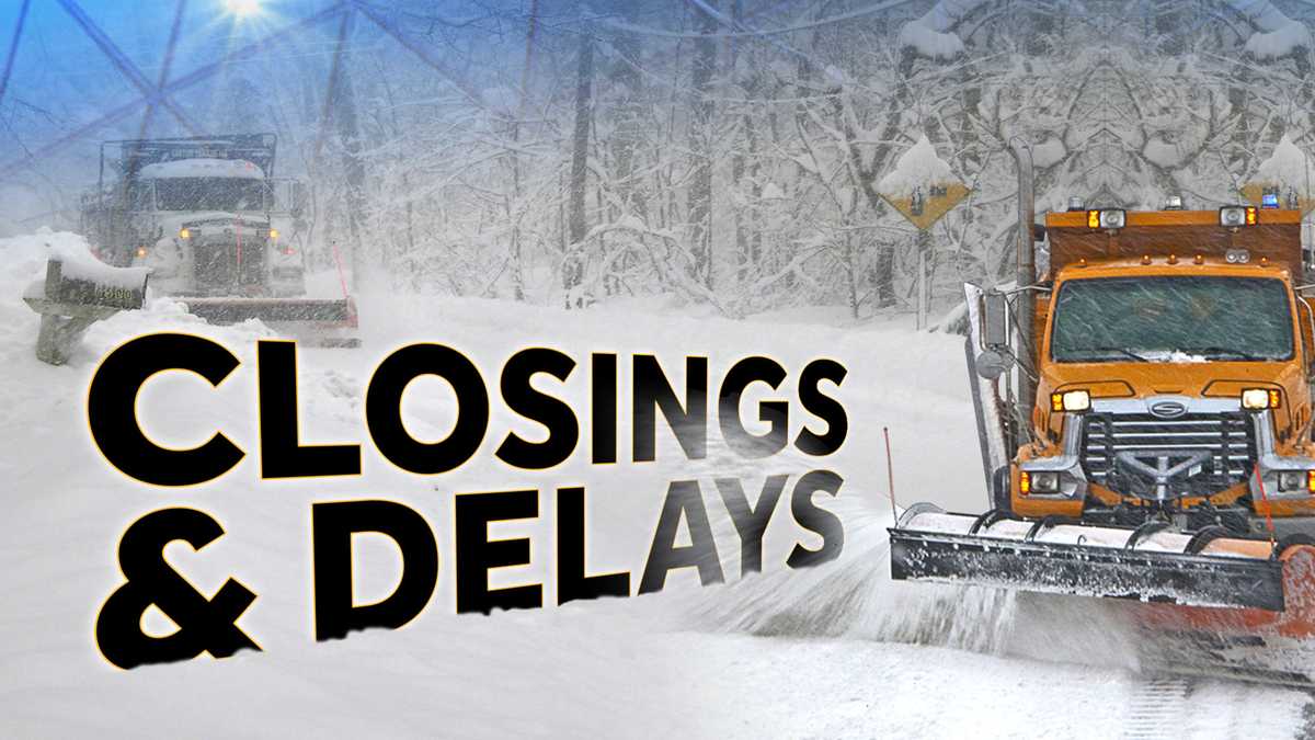
Closings, delays and snow emergencies for south-central Pennsylvania
It is now time for our winter weather outlook, but first, let’s look back at last year. Last year in December, January, and February, our temperatures were below average by over 2 degrees. Our snowfall for the season was also below average. We ended up with 15.4, about half of what we typically get in an average winter. I think the biggest takeaway for me were those 3. Consecutive sub-zero lows that we had in January, it was part of *** cold stretch that was the coldest since 1994. Let’s look ahead to this year. The first thing I’d like to start out with is the El Nino Southern Oscillation, or ESO. Right now we are in *** weak La Nina phase indicated by these blue bars, but notice the percentage chance of *** La Nina drops as the winter goes on and an enso neutral pattern emerges by the end of winter. So what is La Nina? It’s marked by below average ocean water temperatures off the equatorial Pacific. That drives jet stream patterns around the globe and controls our weather pattern. It leads to *** weakened southern jet, so we don’t get those big juicy storms like we do in an El Nino year. But it also leads to an active Pacific jet and *** strong polar jet, so that brings in Pacific moisture across the US and gives us slightly wetter, warmer conditions compared to average. Another teleconnection I like to look at is called the Pacific decadal oscillation or PDO. Right now it’s historically negative, marked by very warm water in the northern Pacific and cooler water in the Gulf of Alaska. Notice the The jet stream pattern across the United States is similar to *** La Nina pattern, so it kind of reinforces that for us. So looking ahead to the winter of 2025, 2026, I see *** similar set up to last year *** weakening La Nina and *** strongly negative PDO. We may see some prolonged cold shots if the jet stream can buckle, but it may also be mild at times. So I think those two things might cancel each other out. I see smaller snow storms on the table for us, those nuisance storms, *** couple of inches each. Large coastal storms are not likely in this pattern, and we could see some mixed events, especially toward the end of winter, say February into March. Now I broke down month by month the forecast for you. I took *** look at similar patterns in years past, and almost every single one of those years had below average temperatures in December. So that’s what we’re going with for December below average temperatures, 2 to 4 opportunities for at least 1 inch of snow, and that will result in above average snowfall in December. For January, average to slightly below average temperatures, we may have some cold outbreaks, 3 to 5 opportunities for snow *** little better in January, resulting in near average snowfall around 9 inches. For February, above average temperatures. This one looks *** bit warmer. 1 to 3 opportunities for snow, resulting in below average snowfall in February. So overall for the winter of 2025 to 2026, I’m forecasting near average to slightly below average temperatures, around *** half *** degree below average. Seasonal snowfall here it is, 15 to 25 inches and might not appease snow lovers there because remember our average is 29, almost 30 inches of snow. What to expect, I see *** colder, snowier start to winter and *** milder finish. That wraps up our winter weather outlook. Remember you can always find the latest forecast and our interactive radar at WJAL.com and on the WGAL app. Be sure to turn on the alerts so you know when winter weather is headed your way.
Closings, delays and snow emergencies for south-central Pennsylvania

Updated: 4:38 AM EST Dec 3, 2025
FULL LIST | We have posted the full list of closings, delays and snow emergencies on this page. The list is alphabetized and will be updated as new entries are made.Video above: WGAL’s Winter Weather Outlook.PLEASE NOTE | If you are trying to enter a closing, you should already have a user code and passcode from WGAL. Those entries are being made entirely online. You should have already received all the information for online entries. We are not posting a link to the entry website here because it is a secure system.Below: Winter driving, preps, essentials
Video above: WGAL’s Winter Weather Outlook.
PLEASE NOTE | If you are trying to enter a closing, you should already have a user code and passcode from WGAL. Those entries are being made entirely online. You should have already received all the information for online entries. We are not posting a link to the entry website here because it is a secure system.
Below: Winter driving, preps, essentials