
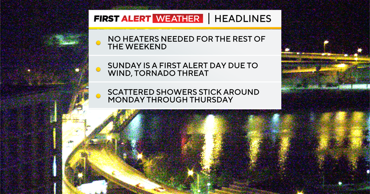
It’s been a while since we have had severe weather concerns, but we will see at least a chance for severe weather on Sunday.
The biggest issue at this time would be with straight-line winds both ahead of and along a potential squall. The setup will potentially also be supportive of a brief tornado or two.
WEATHER LINKS:
Current Conditions | School Closings & Delays | Submit Your Weather Photos
There’s still a decent amount of time before the event, and questions still remain, including just how ‘negative’ the upper trough tilts as it moves through. When a trough is situated in a way where the northern edge is more west of the southern edge, we consider it negatively tilted.

Chances for severe weather in the region this weekend
KDKA Weather Center
The risk of severe weather, especially tornado development, goes up in these types of setups. The trough that will sweep through on Sunday will either be neutral (north-to-south) or negatively tilted.
The timing of Sunday’s severe weather is Sunday afternoon. Rain may arrive as soon as 10 a.m., with the rest of the day seeing a threat for rain. For severe weather to form, we will likely need a break or two in the rain of around two hours and maybe a little sunshine.
Once the rain comes back, it will come back in a big way with strong storms, gusty winds, and the potential for a tornado or two occurring. For Pittsburgh, our storm chance will likely peak from 2 p.m. through 6 p.m. Places in the Laurel Highlands and south of I-80, the storm chance will stick around through at least 8p and maybe even later.
For this afternoon, high temperatures will hit the mid-60s with noon temperatures in the mid-50s.

Condition in the Pittsburgh area – October 17, 2025
KDKA Weather Center
While most of the day will see sunny skies, there will be a period of around 4 hours with cloudy skies as the warm front slides through. Today will be dry, and it looks like Saturday will be dry too. I have Saturday highs hitting the mid to upper 70s. The record high for Saturday is just 83 degrees, so we won’t be too far off from that. Sunday highs will also hit the 70s ahead of rain that arrives before noon.
Next week, rain chances will linger Monday through Thursday. High temperatures will be more fall-like for most of the week, with highs in the upper 50s most days.

7-day forecast: October 17, 2025
KDKA Weather Center
Stay up to date with the KDKA Mobile App – which you can download here!