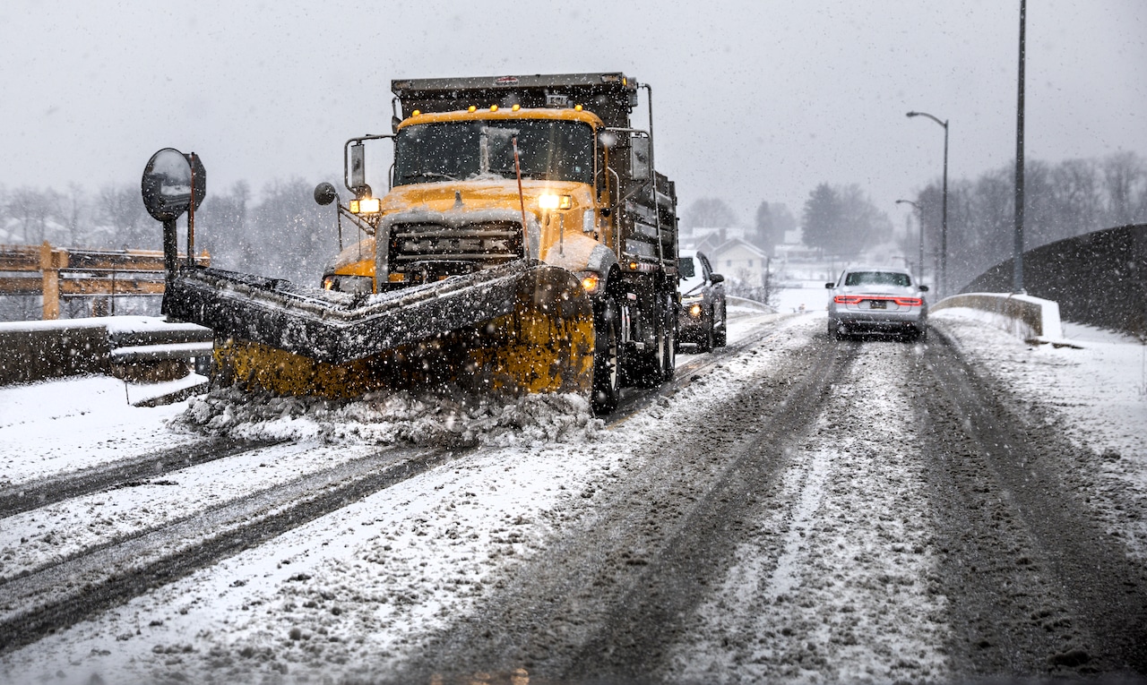
Fair and generally dry weather is forecast for Friday in the Harrisburg area with much lower wind gusts compared to Thursday, but snow and cold will hit Saturday.
Temperatures will be slightly higher than yesterday, and the reduced wind will make it feel noticeably warmer across the area. Morning sunshine will mix with clouds throughout the day.
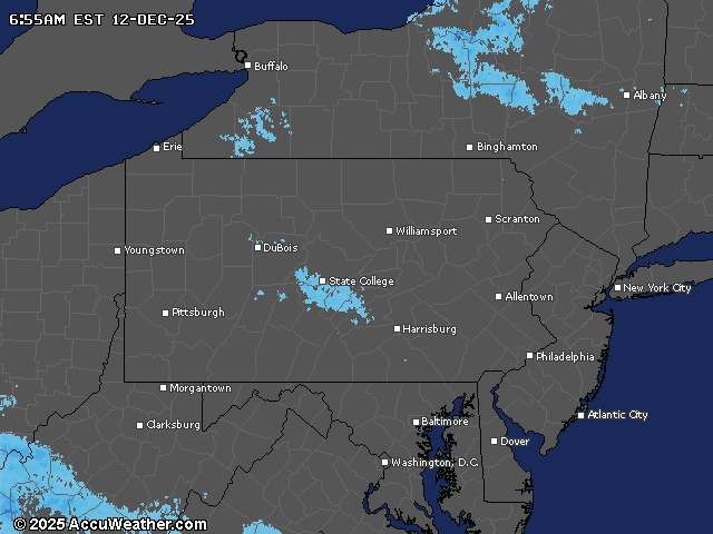
By Saturday night, snow will expand across Pennsylvania, with the highest chances for accumulations over 3 inches in the southern Laurels and southeastern portion of the Lower Susquehanna Valley.
The Harrisburg area can expect 1-2 inches of snow.
A winter storm watch has been issued for counties in northwestern Pennsylvania Saturday afternoon through late Sunday night, as significant lake effect snow is expected to develop.
Sunday will bring a significant drop in temperatures, with highs 10 to 20 degrees colder than Saturday and running 15 to 25 degrees below normal. Some parts of Pennsylvania could approach record lows. Gusty winds combined with the cold temperatures will produce wind chills near and below zero Saturday night through Monday morning.
Looking ahead, another light snow system could affect the region early next week before a pattern change brings milder conditions. By late next week, high temperatures are expected to climb into the 40- to 50-degree range, signaling a mid-to-late December thaw.
Winter starts next Sunday, Dec. 21. Whether we’ll have a snowy Christmas remains to be seen.
Current weather radar