
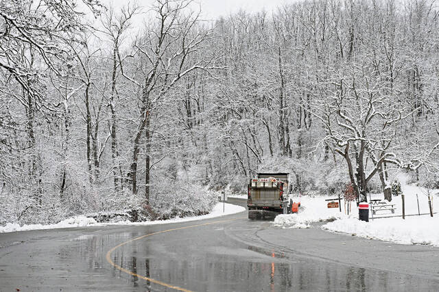
Western Pennsylvania is gearing up for a snowy weekend.
Shannon Hefferan, a meteorologist with the National Weather Service in Moon, said 3 to 6 inches are expected to start falling around 3 p.m. Saturday.
Depending on geographical location, though, some areas will see more snow than others, she said.
In the Pittsburgh region, 4 to 5 inches of snow will fall. Closer to the ridges of the Appalachian Mountains, there could be around 8 to 10 inches, according to Hefferan.
“It’ll be that fluffy kind of powdery snow,” she said. “If you’re expecting it to melt, it won’t.”
Hefferan said the heaviest snowfall is expected from Saturday night into early Sunday. Wind chills will dip to around zero degrees on Sunday and remain that low through Monday morning.
????????EXTREME COLD: Arctic air moves south Fri-Sun, bringing life-threatening wind chills (below -30°F in some areas) and temps 20-30°F below normal from the Plains to the Mid-South. Prepare now to protect people, pets, and pipes. pic.twitter.com/JGWWKwTLXM
— NWS Weather Prediction Center (@NWSWPC) December 11, 2025
There is a winter storm watch from 2 p.m. Saturday until 2 p.m. Sunday, according to the National Weather Service.
She said light snow is expected between 3 and 6 p.m. Saturday, with snowfall rates picking up between 7 and 11 p.m. across Western Pennsylvania.
“Travel will be very bad during the overnight … with the snow amounts,” Hefferan said. “If you can avoid traveling, I would just definitely try to do that.”
By Monday, the snowstorm will exit. Temperatures will remain cold.
“It will be very uncomfortable to shovel, so you want layers,” Hefferan said. “When you do shovel the next day, bundle up.”
But that doesn’t mean the snow that’s accumulated is going away.
Hefferan predicted most of the snow will likely melt mid-week around Wednesday, as temperatures are expected to reach the low 40s.
Before that, Western Pennsylvania will be stuck below freezing, she said. The temperature forecast is as follows:
Saturday highs around 34 or 35 degrees, overnight lows in the low teens
Sunday highs in the low 20s and the high teens, overnight lows in the lower teens around 10 to 12 degrees
Monday and Tuesday will be slightly warmer with temperatures in the low 20s
“The best rebound to get above freezing is Wednesday,” Hefferan said. “The cold will kind of last through Wednesday at least below freezing.”
Megan Swift is a TribLive reporter covering trending news in Western Pennsylvania. A Murrysville native, she joined the Trib full time in 2023 after serving as editor-in-chief of The Daily Collegian at Penn State. She previously worked as a Jim Borden Scholarship intern at the Trib for three summers. She can be reached at mswift@triblive.com.