
How much snow? Latest totals in Pennsylvania for Dec. 13 from National Weather Service
It’s *** snow globe Saturday night across western Pennsylvania. Widespread light snow falling as we’re working our way through the evening and still winter weather alerts in effect until one o’clock on Sunday afternoon. They include *** winter storm warning from Allegheny County and points south into northern West Virginia and *** winter weather advisory for counties to the north of Allegheny. County include Beaver, Butler, as well as Lawrence and Armstrong counties. In terms of total accumulation, some of this is already on the ground, but before things are all said and done, areas to the north of Pittsburgh can expect 2 to 3 inches in and around the immediate Pittsburgh area, still in the 3 to 5 inch range in the Laurel Highlands, the highest elevations of Indiana, Westmoreland. And Fayette Counties can expect 5 to 8 inches of total accumulation. Radar right now still showing the widespread light snow moving from west to east across the area. This will be the case up until about midnight tonight. Then after midnight is when that widespread light snow will be tapering off to just *** few isolated flurries by first thing on Sunday morning. Then we’ll transition to some bitter cold air with an Arctic blast moving in for the second half of the weekend. We’ll start our Sunday with temperatures near 12 degrees and wind chill values near 0, and we’ll only warm our way to near 20 in the afternoon with mostly cloudy skies.
How much snow? Latest totals in Pennsylvania for Dec. 13 from National Weather Service

Updated: 10:38 PM EST Dec 13, 2025
Snow is moving through western Pennsylvania on Saturday night and is expected to continue into early Sunday morning. A winter storm warning is in effect. By the end of the event, many communities could pick up 3-5 inches of snow for areas under the storm warning. The Laurel Highlands and isolated places south of Pittsburgh could see 5 to 8 inches by Sunday morning.LIVE RADAR // WEATHER ALERTS // TRAFFIC // CLOSINGSHere are the National Weather Service’s latest reported snowfall totals for the storm:Allegheny CountyVersailles — 3.8Scott Township — 3.5Pleasant Hills — 3.0Upper St. Clair — 3.0Imperial-Enlow — 2.8Millvale — 2.2Moon — 2.1E Pittsburgh — 2.0WNW Pittsburgh — 2.0Butler CountyFox Run — 2.0Sarver — 1.5Washington CountyWashington — 5.0McMurray — 4.0Canonsburg — 4.0West Brownsville — 3.5Houston — 3.5Burgettstown — 3.0Finleyville — 3.0Westmoreland CountyGreensburg — 5.0South Greensburg — 4.0W Latrobe — 3.5Latrobe — 3.0Delmont — 3.0Irwin — 2.8
PITTSBURGH —
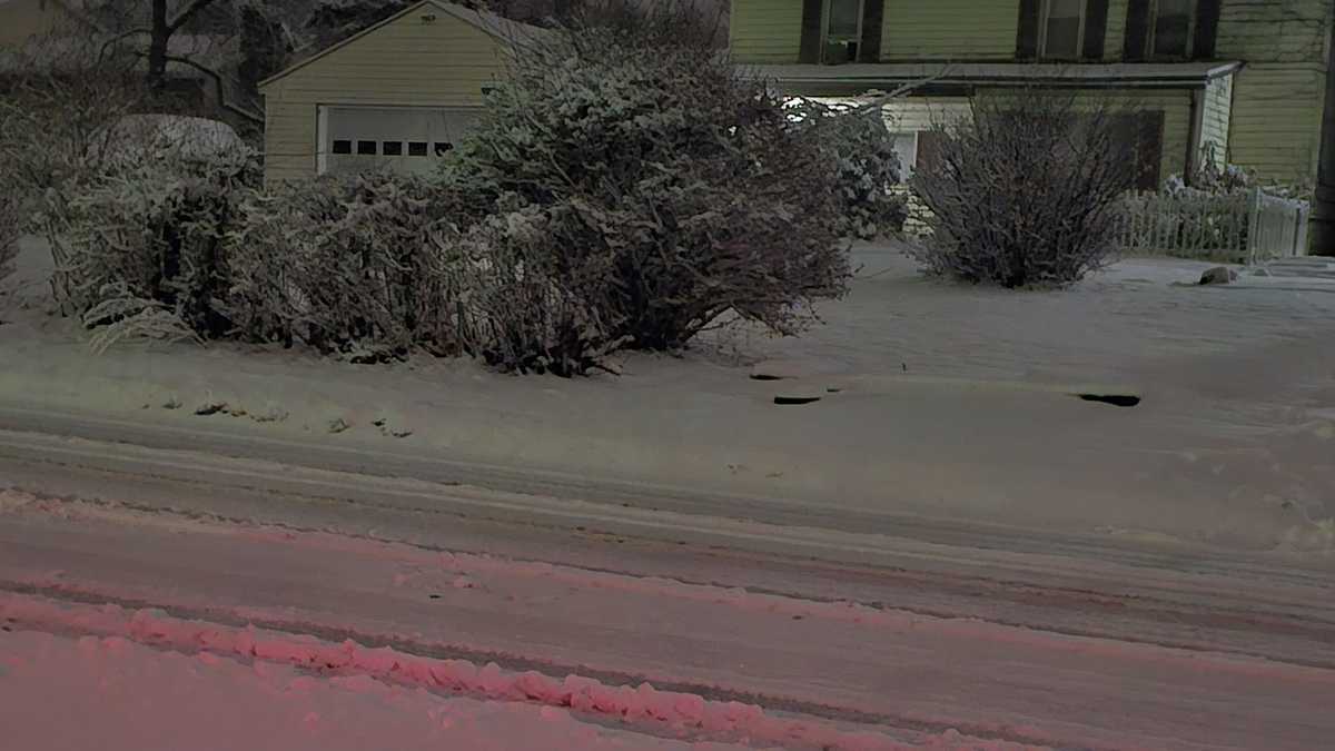
Snow is moving through western Pennsylvania on Saturday night and is expected to continue into early Sunday morning. A winter storm warning is in effect.
By the end of the event, many communities could pick up 3-5 inches of snow for areas under the storm warning. The Laurel Highlands and isolated places south of Pittsburgh could see 5 to 8 inches by Sunday morning.
LIVE RADAR // WEATHER ALERTS // TRAFFIC // CLOSINGS
Here are the National Weather Service’s latest reported snowfall totals for the storm:
Allegheny County
Versailles — 3.8Scott Township — 3.5Pleasant Hills — 3.0Upper St. Clair — 3.0Imperial-Enlow — 2.8Millvale — 2.2Moon — 2.1E Pittsburgh — 2.0WNW Pittsburgh — 2.0
Butler County
Fox Run — 2.0Sarver — 1.5
Washington County
Washington — 5.0McMurray — 4.0Canonsburg — 4.0West Brownsville — 3.5Houston — 3.5Burgettstown — 3.0Finleyville — 3.0
Westmoreland County
Greensburg — 5.0South Greensburg — 4.0W Latrobe — 3.5Latrobe — 3.0Delmont — 3.0Irwin — 2.8