Bitter cold temperatures and gusty winds are creating dangerous conditions across central Pennsylvania through Monday morning, with lake effect snow adding to hazardous travel in western regions.
Wind chills will be particularly dangerous overnight.
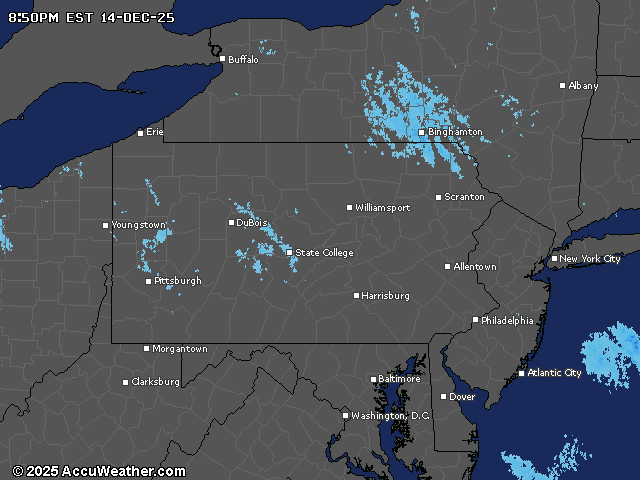
The National Weather Service has issued a Lake Effect Snow Warning until 7 a.m. Monday for northwestern Pennsylvania, where an additional 1 to 2 inches of snow is expected, with localized amounts of 3 to 4 inches possible.
Winter Weather Advisories remain in effect for portions of western Pennsylvania, including the Laurel Highlands, where a Cold Weather Advisory is also in place due to the combination of frigid temperatures and strong winds.
Winds will gust up to 30 to 40 mph through Sunday night, causing blowing and drifting snow that will further reduce visibility in affected areas.
Temperatures remained steady or fell Sunday afternoon as strong cold air continued to move into the region, creating potentially dangerous wind chill values.
Monday will bring slightly moderating temperatures, though still well below normal, with weakening winds. Lake effect snow and upslope snow should gradually taper off through the day, though northern areas may see additional snow later Monday as a fast-moving weather system passes to the north.
A significant pattern shift will bring milder air into the region by Tuesday into Thursday, with temperatures climbing into the 40s for many locations. Some spots could approach 50 degrees on Thursday before a cold front brings cooler conditions by Friday.
The extended forecast shows a brief mix of precipitation possible early Friday as showers exit the region. Milder air returns later in the weekend with a chance of rain, possibly beginning as a brief wintry mix.
December has been running nearly 10 degrees colder than normal so far this month.
Current weather radar