A Cold Weather Advisory remains in effect until 9 a.m. Monday for parts of central Pennsylvania, with lake effect snow warnings and winter weather advisories expiring this morning. Blustery and very cold conditions will persist throughout the day.
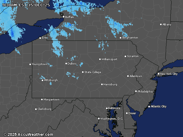
Light snow continues early Monday across the Laurel Mountains and northwestern mountains, though accumulations are expected to remain less than one inch. Temperatures will be slightly warmer than Sunday, but still well below normal, with diminishing winds helping to take the edge off the biting cold.
A significant warming trend begins Tuesday as a large-scale pattern shift brings milder air into the region. Temperatures will break above freezing for most areas by Wednesday, with highs climbing into the 40s by Thursday. However, this warming comes with increasing winds, as gusts could reach 30 to 40 mph on Wednesday.
The next weather system arrives late Thursday into Thursday night, bringing widespread rainfall that could be heavy at times. As colder air moves in behind the front, rain will likely change to snow showers in northern and western areas by Friday morning.
Friday will see a return to colder temperatures with highs in the 20s and 30s, accompanied by strong winds gusting up to 40 mph. Lake effect and upslope snow showers remain possible in northwestern areas before tapering off Friday night as high pressure builds in.
Looking ahead, astronomical winter officially begins at 10:03 a.m. Sunday, December 21, with another round of precipitation possible later Saturday into Sunday as the next clipper system approaches from the Great Lakes.
Current weather radar