
A winter storm watch is in effect for the Lehigh Valley and Poconos, with potentially disruptive wintry precipitation expected Friday afternoon through Saturday morning.
Residents should prepare for dangerous travel conditions and potential accumulations of snow, sleet, and freezing rain.
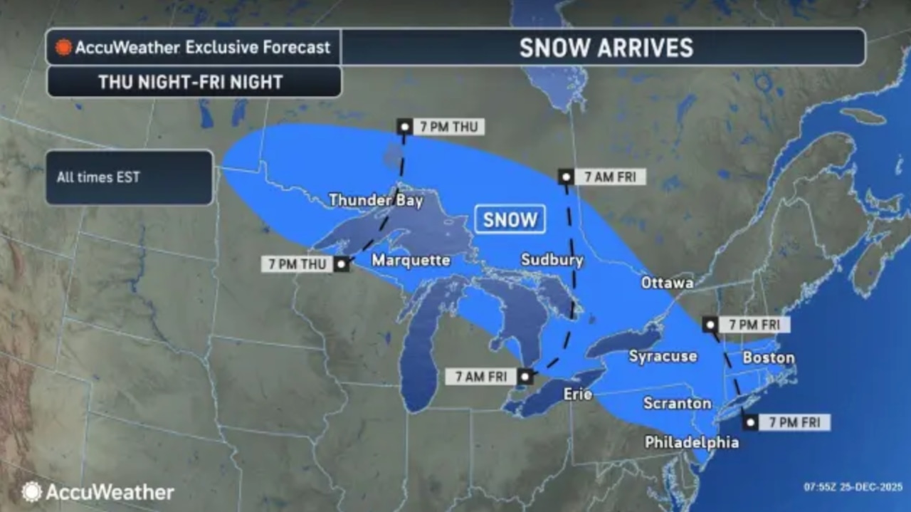
The National Weather Service forecasts a complex winter storm system that will bring widespread precipitation to the region.
For areas north and west of the Lehigh Tunnel and Blue Mountain range, including the Poconos, snowfall amounts could range from 5 to 8 inches, with some localized areas potentially seeing higher totals.
Snow rates could exceed one inch per hour during the most intense periods.The timing of the storm is expected to begin late Friday afternoon, with precipitation likely continuing into early Saturday morning.
Temperatures will remain below freezing, increasing the risk of hazardous travel conditions.
The forecast indicates a mix of snow, sleet, and potentially freezing rain, with the greatest uncertainty being the exact location of precipitation type transitions.
For the Lehigh Valley specifically, current forecasts suggest temperatures will start in the teens on Christmas night and remain cold through the storm system. The probability of warning-level snow (over 6 inches) ranges from 50 to 70 percent for areas north of Interstate 78.
Looking ahead, the weekend will remain cold with lingering snow showers possible Saturday morning.
Temperatures will gradually moderate, with highs in the upper 20s to low 30s. Another weather system is expected to move through the region on Sunday, potentially bringing additional precipitation.
Residents are advised to stay informed about changing weather conditions, prepare for potential travel disruptions, and have emergency supplies ready. The National Weather Service emphasizes the high uncertainty in this forecast and recommends monitoring updates closely.