
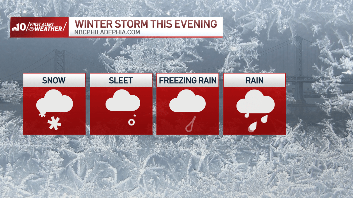
What to KnowA Winter Storm Watch is in effect for much of the region from Friday afternoon through Saturday morning.Conditions were cloudy Friday morning. Snow will begin moving into the Philadelphia region around 5 p.m., with temperatures in the upper 20s. The Philadelphia region will then see a mixture of snow and sleet throughout the night.In areas south of Philadelphia, the storm will begin as sleet or freezing rain while it will mostly be snow in areas northeast of Philadelphia. The wintry mix will lead to icy road conditions Friday night into the overnight hours.The wintry mix will continue overnight. By 2 a.m. Saturday, the storm will mostly be finished. The major concern at that point will be icy conditions on roads and sidewalks. Conditions will be mostly cloudy Saturday with highs in the low 30s. There’s also a chance for refreezing Saturday night into Sunday morning.Estimated Snow Totals
Philadelphia, Delaware County/Chester County/South of the AC Expressway in New Jersey – A coating to an inch
Bucks County, northern Burlington County, north of the Leigh Valley – 2 to 4 inchesGet the latest details on the storm and forecast by downloading the NBC10 app and following the NBC10 First Alert Weather Team.
A wintry mix of snow, ice and rain will hit the Philadelphia region late Friday afternoon through Saturday morning. Follow live updates below.