
CLEVELAND, Ohio — Thunder and lightning are usually associated with summer heat and severe thunderstorms, not snow-covered roads and subfreezing temperatures. But in Northeast Ohio, winter storms can occasionally produce a rare phenomenon known as thundersnow.
While uncommon, thundersnow occurs more frequently in the Great Lakes region than in most other parts of the country — and Lake Erie plays a major role.
Thundersnow is snowfall that occurs alongside thunder and lightning, combining the structure of a thunderstorm with winter weather. When it develops, snow can fall at very high rates, quickly reducing visibility and worsening travel conditions.
In Northeast Ohio, thundersnow is most often observed during intense lake-effect snow events or powerful winter storms moving through the region.
How can thunder and lightning happen during snow?
Despite the cold, the atmosphere still needs one key ingredient: instability.
Instability allows air to rise rapidly, forming tall clouds capable of producing lightning. In winter, that rising motion can be triggered by:
Strong cold air pouring in behind a storm system.Narrow, intense snow bands within a larger storm.Cold air flowing over relatively warmer water on Lake Erie.
As snowflakes and ice crystals collide inside these clouds, they can build an electrical charge. When that charge becomes strong enough, lightning occurs followed by thunder.
Why the Great Lakes see more thundersnow
Northeast Ohio’s proximity to Lake Erie gives the region a unique advantage — or disadvantage — when it comes to thundersnow.
During winter, the lake is often much warmer than the air moving across it. That temperature difference fuels rising air, cloud growth and heavier precipitation. In the most intense lake-effect events, snow clouds can grow tall enough to behave like wintertime thunderstorms.
This setup makes the Great Lakes one of the few places in the U.S. where:
Cold-season instability regularly develops.Snow bands can become narrow, intense and vertically tall.Lightning can occasionally form within snowstorms.
Thundersnow has been observed most often in Northeast Ohio’s primary snowbelt, including parts of Lake, Geauga, Ashtabula and eastern Cuyahoga counties.
What does thundersnow look and sound like?
Lightning during thundersnow often appears dimmer or golden, reflecting off low clouds and falling snow. Thunder may sound muffled, since snow absorbs sound better than rain.
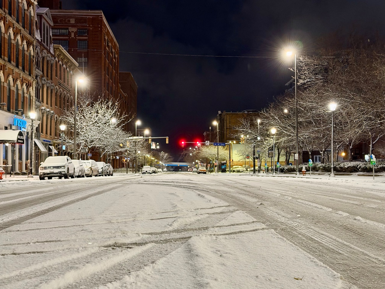
When thundersnow is present, snowfall rates can exceed 1 to 2 inches per hour, sometimes leading to near-whiteout conditions in a short period of time.
How often does thundersnow happen in Northeast Ohio?
Even in the snowbelt, thundersnow is rare. Many winters pass without a confirmed report, while others may feature one or two brief episodes.
Meteorologists can sometimes identify conditions favorable for thundersnow — when cold air near the ground is topped by slightly warmer air aloft, allowing air to rise more easily — but its exact location and timing are difficult to predict.
Most recently, thundersnow was spotted over Cleveland on the evening of Thanksgiving just after 6 p.m. Ohio Department of Transportation press secretary Matt Bruning shared video on X showing the flash of lightning as seen from a traffic camera looking northeast over Interstate 90 at Kenilworth Avenue.
Why thundersnow stands out
Thundersnow captures attention because it blends two types of weather people rarely expect to see together.
“A thundersnow event is not something you see every day,” AccuWeather said in a weather explainer. “It is a spectacular display of the power of nature. While unique by any standard, it is especially remarkable considering how unlikely it is to witness all of those ingredients intertwine to produce this storm.”
In Northeast Ohio, it’s a reminder of how powerful lake-effect snow can be — and how Lake Erie continues to shape winter weather in ways few other regions experience.