
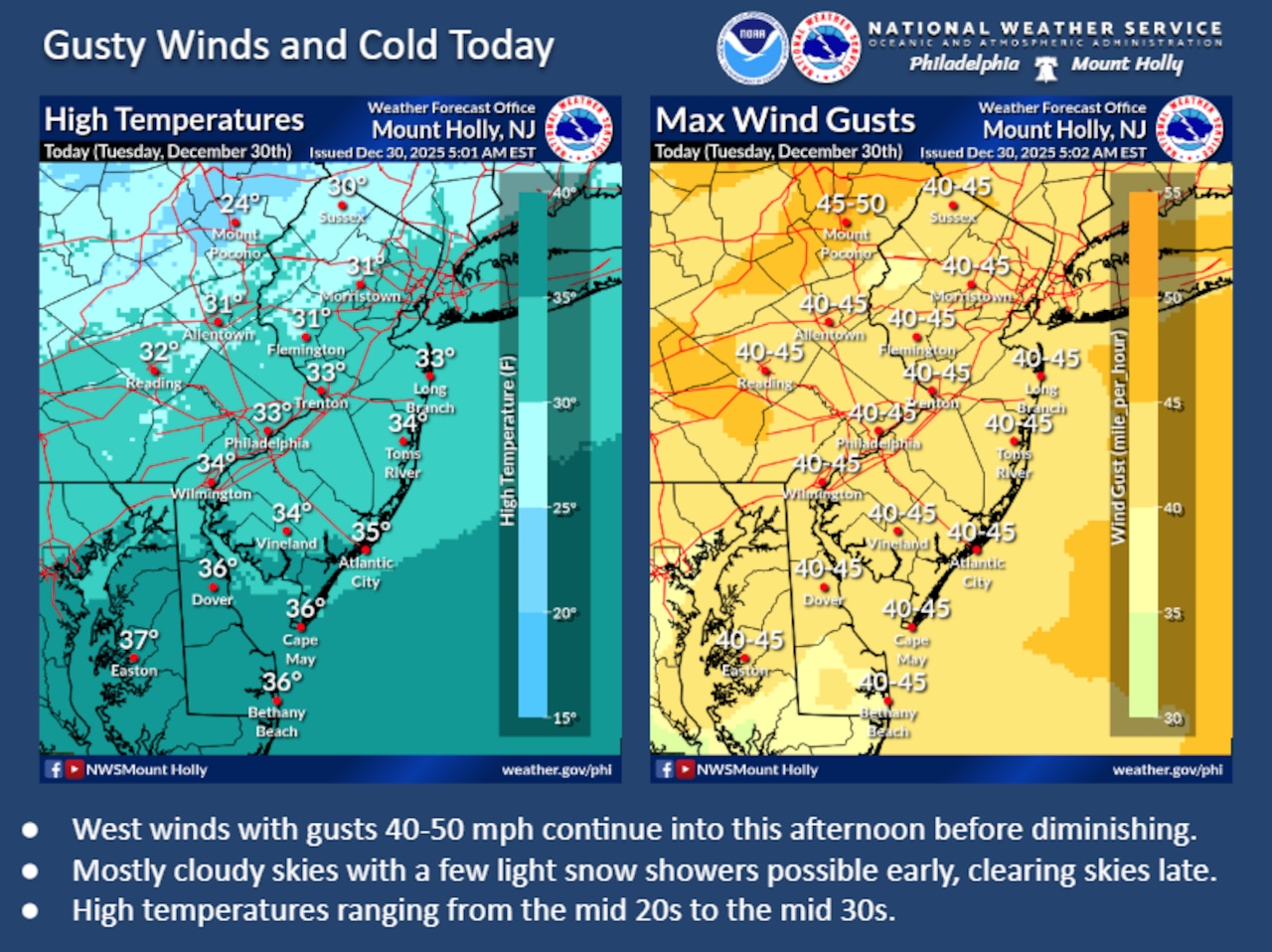
Wind Advisories remain in effect Tuesday morning for the Lehigh Valley, Pocono Mountains and northwestern New Jersey, with powerful west-northwest winds expected to create dangerous wind chills and challenging conditions through the afternoon.
Residents should prepare for west winds 20 to 30 mph gusting up to 50 mph and temperatures struggling to rise above the freezing mark of 32 degrees.
The National Weather Service warns of significant wind impacts during the morning hours and early afternoon. Wind chills will range from single digits into the teens, making outdoor activities potentially hazardous.
A Wind Advisory is in effect until 1 p.m. for a region covering Bucks, Lehigh, Northampton and Warren counties, with the most intense winds expected in the morning. A separate Wind Advisory runs until 5 p.m. for Carbon and Monroe counties.
A gust of 47 mph was recorded at 7:49 p.m. Monday at Lehigh Valley International Airport, according to the weather service.
Electricity companies were reporting some 6,700 outages as of 6:45 a.m. Tuesday across Bucks, Carbon, Lehigh, Monroe and Northampton counties in eastern Pennsylvania and western New Jersey’s Hunterdon and Warren counties. PPL Electric Utilities reported Bucks was hardest-hit with 3,741 customers affected. Other counties’ outages ranged from six Met-Ed customers impacted in Lehigh County to 845 JCP&L customers in Hunterdon.
Skies will remain partly to mostly cloudy, with slight chances of isolated snow showers before 8 a.m. Tuesday and late Tuesday night into early Wednesday morning. However, any snowfall is expected to be minimal, with potential accumulations of only a dusting. Temperatures will remain well below average, with overnight lows dropping into the teens and daytime highs struggling to reach the mid-30s.
The cold pattern is expected to continue through Thursday, with another reinforcing shot of cold air following a weak cold front moving through Wednesday night. Northwest winds for New Year’s Day on Thursday could gust 20 to 30 mph, further driving down wind chill values and keeping temperatures below freezing for most of the area.
Looking ahead to the weekend, temperatures are forecast to remain cold, with highs generally in the 30s and lows in the teens and 20s. A weak area of low pressure could approach the region Saturday, potentially bringing a slight chance of light precipitation, though current models suggest minimal impact for the Lehigh Valley.
Current weather radar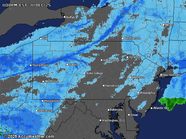
Supervising reporter Kurt Bresswein contributed to this report. Reach him at kbresswein@lehighvalleylive.com.