
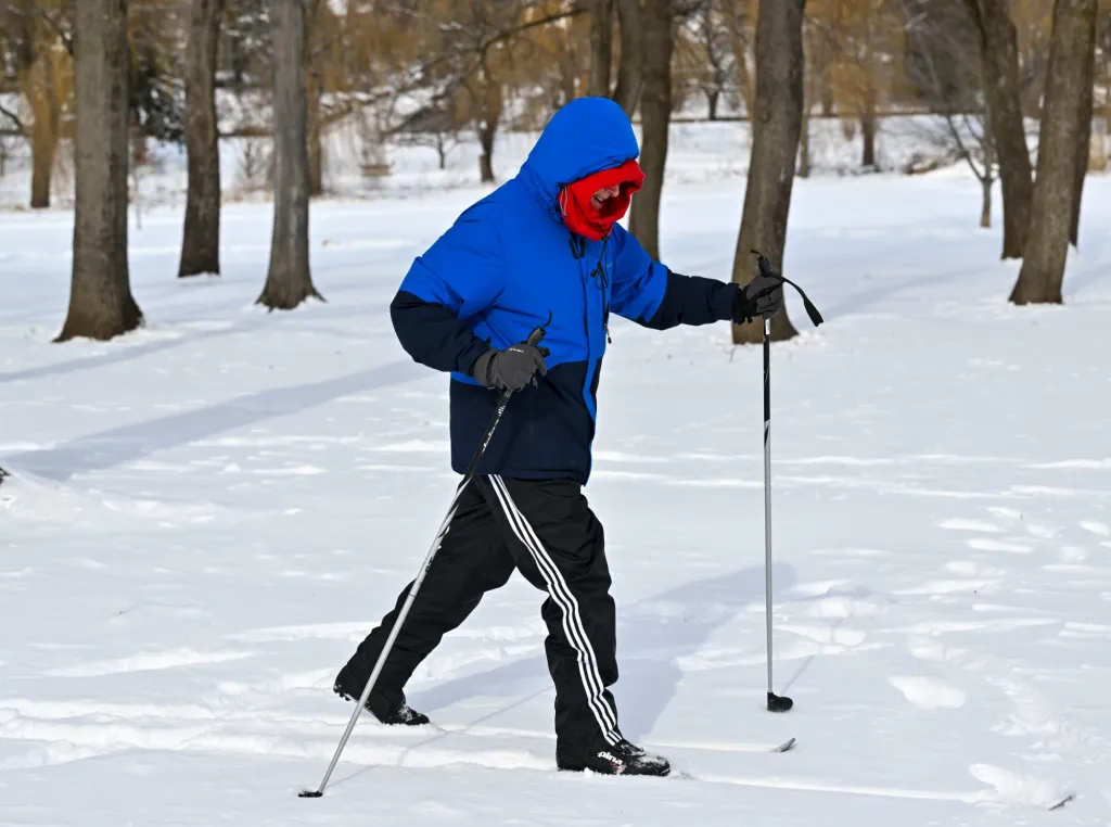
A cold front that moved through the region early Thursday morning is bringing even colder weather and high winds to start off the new year in the Lehigh Valley.
Thursday’s high temperature will fail to get out of the 20s, according to the National Weather Service forecast. High winds will make it feel even colder, with winds between 10 and 15 mph, and gusts as high as 30 mph, according to the weather service.
The cold front also brought early morning snow squalls to the region, delivering a coating of snow. A few more flurries are possible during the day, but not much precipitation is anticipated, according to the forecast.
A snow squall warning was issued across much of the region between 3 and 5 a.m. as a “dangerous” squall moved southeast across the region, bringing intense, heavy bursts of snow and high winds. Blowing snow rapidly reduced visibility, leading to potentially hazardous travel conditions for brief periods.
While the region is off to a cold start to 2026, the forecast is looking relatively snow-free through the middle of next week. The next chance for precipitation will be Wednesday, though for now that is expected to fall as rain, according to the weather service.
Here’s the updated long-term forecast from the National Weather Service:
Friday: Partly sunny, with a high near 32. West wind 5 to 10 mph.
Friday Night: Mostly clear, with a low around 18. West wind around 5 mph.
Saturday: Partly sunny, with a high near 33. Calm wind becoming west around 5 mph.
Saturday Night: Mostly cloudy, with a low around 21.
Sunday: Mostly sunny, with a high near 35.
Sunday Night: Partly cloudy, with a low around 17.
Monday: Mostly cloudy, with a high near 32.
Monday Night: Mostly cloudy, with a low around 24.
Tuesday: Mostly cloudy, with a high near 39.
Tuesday Night: Mostly cloudy, with a low around 29.
Wednesday: A chance of rain. Mostly cloudy, with a high near 44. Chance of precipitation is 30%.