A weak area of high pressure will keep the Lehigh Valley and Poconos in a cold pattern Friday, with light snow bands or flurries expected to dissipate by mid-morning.
Temperatures will remain well below average, with highs struggling to reach the mid-30s and westerly winds adding to the wind chill.
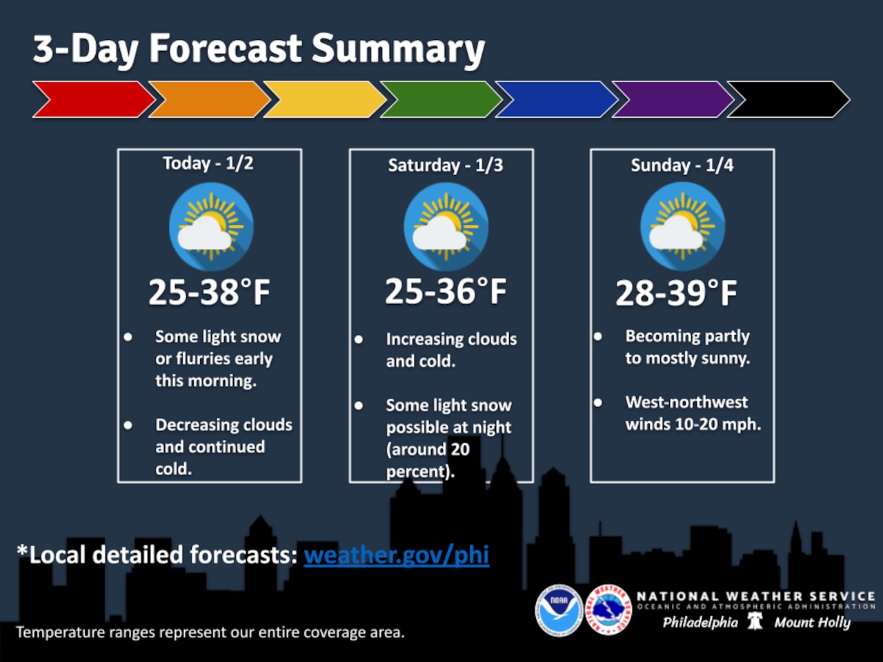
The National Weather Service forecast indicates snow showers will quickly clear out Friday morning, leaving behind dry but cold conditions throughout the day and night.
Looking ahead to the weekend, Saturday will start dry with increasing cloud cover and temperatures remaining in the 30s. There’s a slight chance (20-30%) of light snow overnight Saturday into Sunday from the Lehigh Valley north. Sunday will continue cold with northwest breezes and highs in the mid-30s.
MORE: Weather year in review: Lehigh Valley ends 2025 in drought watch
The early next week outlook suggests a gradual warming trend, with temperatures potentially reaching the 40s by Tuesday and Wednesday. A weak cold front is expected to cross the area late Wednesday, which could bring some light precipitation, though details remain uncertain.
Residents should continue to monitor local forecasts, dress in layers, and be prepared for cold temperatures and potential light snow events over the next several days.
Current weather radar