
SHORT TERM FORECAST
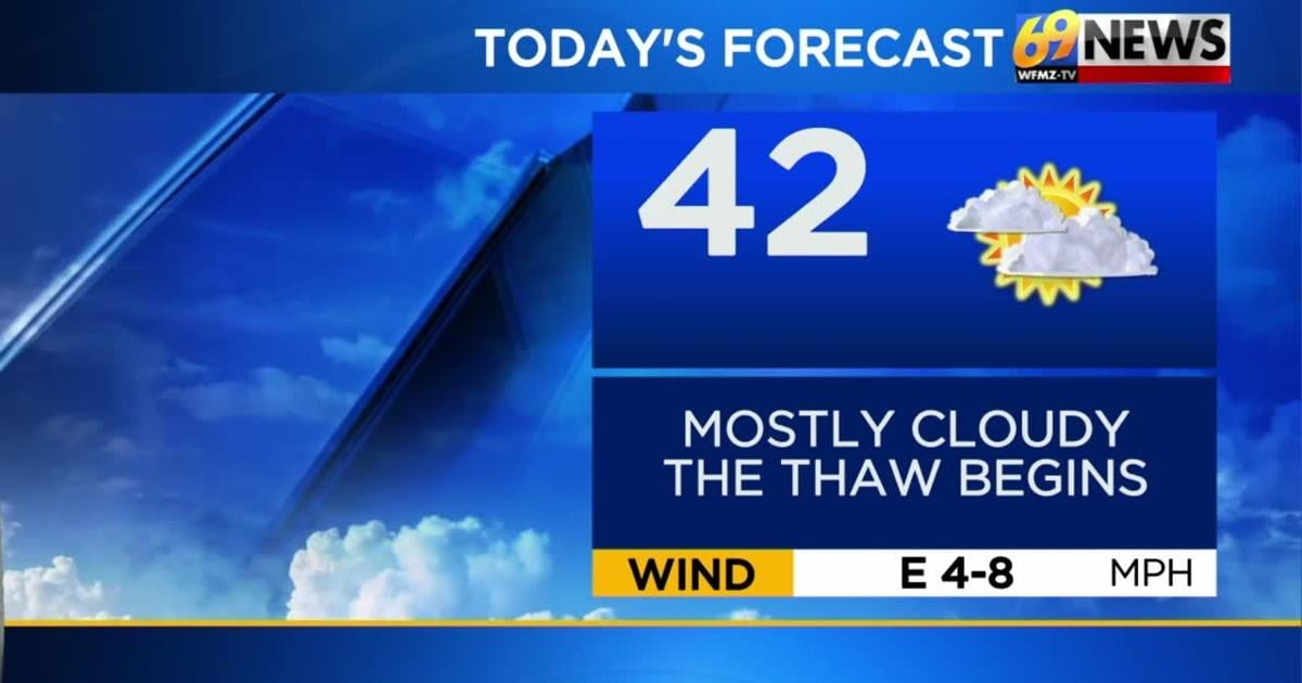
TUESDAY: Mostly cloudy and a bit milder. High: 42
TUESDAY NIGHT: Mostly cloudy with a few scattered light rain showers. Patchy fog. Low: 35
WEDNESDAY: Partly cloudy. Breezy. Mild. High: 47
FORECAST SUMMARY
After what has felt like a very bitterly cold start to winter, things take a turn for warm this week. That starts today with temperatures getting to, if not exceeding average, and only climbing with each passing day. We will be talking the mid, possibly even upper 50’s by Saturday! A couple shots at some much-needed rain will start tonight with widely scattered lighter showers. Our better chance for rain comes Friday.
DETAILED FORECAST
TUESDAY
We’ll crack into the low 40s on Tuesday, despite mostly cloudy skies through most of the day. So it’s a dry and more seasonable day, with just a light easterly breeze less than 10mph. As even warmer air becomes established, a few rain showers are possible Tuesday evening into the overnight, especially from the Lehigh Valley points north. But the day will be dry, and any rain should only amount to a few hundredths at most.
WEDNESDAY AND THURSDAY
These won’t quite be the mildest days of our thaw, but they should be the nicest overall for enjoying some outdoor time without shivering or getting wet. Look for morning clouds to mix with some breaks of afternoon sun on Wednesday, and partly sunny skies throughout the day on Thursday. Highs will be in the mid to upper 40s each day, with Wednesday a little breezy (west winds gusting into the 20s) and Thursday featuring less wind.
FRIDAY AND SATURDAY
These will be the mildest days of our upcoming thaw, with highs in the low 50s on Friday, and even mid to upper 50s on Saturday as southwest breezes kick up and help the warm air transport. But the mild air comes with a price, and these two days will also be our best chance for some occasional rain showers as well. Big rains or a washout aren’t currently expected, but at least some occasional rain showers are likely at times later Friday into Saturday, ahead of a cold front that will effectively end our thaw by early next week. Right now, rainfall amounts look mostly around or a little over a half inch combined over both days. Much of the area is in a drought, so any rain(or snow) is welcome, but we need more than a 1/2 inch. Cooler and windier weather returns next Sunday and Monday.
SUNDAY AND MONDAY
We’re back to some colder and brisk weather for the second half of the weekend and into the following week. But it also looks dry for now, with partly sunny skies and highs back in the low 40s on Sunday, and then around 35-40° on Monday. Gusty winds will add a chill both days, with northwest winds gusting to 30-35mph on Sunday, and around 20-25mph on Monday. It looks dry for the Eagles playoff game, but those gusty winds could be somewhat of a factor in the game.
TRACK THE WEATHER:
LINKS: HOUR BY HOUR | RADAR | TRAFFIC