Central Pennsylvania is experiencing the start of a significant January thaw with temperatures climbing well above normal through Saturday.
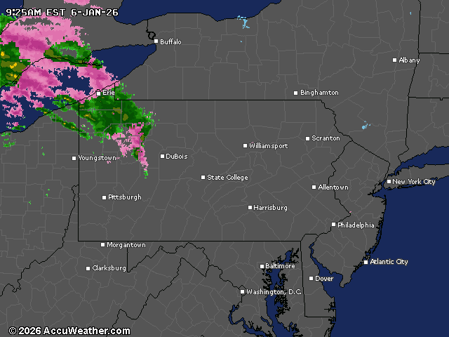
Rain will move into the state from west to east starting Tuesday afternoon, with the heaviest precipitation expected in northwestern areas.
The warming trend begins today with temperatures running 8 to 17 degrees above normal. The high for the Harrisburg region today is supposed to be 46, with a slight chance of rain.
Windy conditions are expected Tuesday night into Wednesday morning with gusts reaching 25 mph to 35 mph as the weather system moves from Lake Ontario toward the Gulf of Maine.
Wednesday will remain dry but cloudy, with temperatures continuing to run well above average for early January.
The warmest days of this January thaw will occur Friday and Saturday, when temperatures could reach 45 to 55 degrees across the state. That may challenge daily records in some locations.
The Pennsylvania Farm Show opens in Harrisburg with a food court preview Friday and daily on Saturday.
Rain is likely, however, Friday and Saturday. Forecasters are monitoring the potential for minor flooding, particularly in northwestern Pennsylvania, where rain combined with snowmelt could create issues.
Ice jam risks may be elevated elsewhere due to melting snowpack and rising water levels.
The unseasonable warmth will come to an end Sunday as a cold front brings temperatures back to more typical January levels.
Current weather radar