
SHORT TERM FORECAST
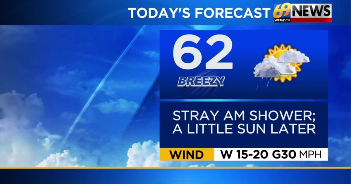
MONDAY: A few showers possible early, especially north; breezy and cooler with clouds breaking for a little sun by the afternoon. High: 62
MONDAY NIGHT: Mainly clear and cool with winds briefly diminishing. Low: 40
TUESDAY: Increasing clouds. Breezy. Warmer. High: 68
FORECAST SUMMARY
Drying things up slowly throughout our Monday as that cold front and low move away. Much cooler air flowing into the region giving us a very cool fall feeling day with temperatures only topping out in the lower 60s. Our next shot at some rain comes for Tuesday night into Wednesday. Eyes are on the tropics as we could have our next named storm within the week.
DETAILED FORECAST
MONDAY
The aforementioned cold front and heavier showers is off the coast, but a low pressure system attached to the front to our north may lead to some wrap around showers, mainly for those near and north of Interstate 78. The bulk of this rainfall should exit away to our northeast by Monday afternoon. Outside of a cloudy and somewhat damp start to Monday then, we expect a little more sun to return before the day is all said and done. Breezes will pick up as high temperatures fall back to the low 60s…a big difference compared to yesterday.
TUESDAY AND WEDNESDAY
Sunshine mixing with clouds can be expected Tuesday along with some more gusty winds as high temperatures briefly return to seasonably milder levels in the mid to a few upper 60s. Another cold front tracks through Tuesday night possibly sparking a few showers although the rainfall only looks to amount to no more than a tenth of an inch. Wednesday should be largely dry with partly sunny skies, but the winds remain gusty and we see high temperatures drop back to around 60 degrees. A stray shower is possible Wednesday afternoon for higher elevations north and west of the Lehigh Valley.
THURSDAY AND FRIDAY
Thursday is yet one more breezy day with high temperatures topping out at rather cool levels for this time of the year in the upper 50s. Similar to Wednesday, there might be a stray shower for higher elevations north and west of the Lehigh Valley, but overall the day should be dry with partly sunny skies. Our winds should finally start to subside Thursday night allowing overnight low temperatures to get chillier. We anticipate Thursday night’s lows to fall back to at least the upper 30s. High pressure builds in for Friday leading to lighter winds along with fair skies, but high temperatures will remain cool in the upper 50s. Lows Friday night again drop back into at least the upper 30s.
TRACK THE WEATHER:
LINKS: HOUR BY HOUR | RADAR | TRAFFIC