
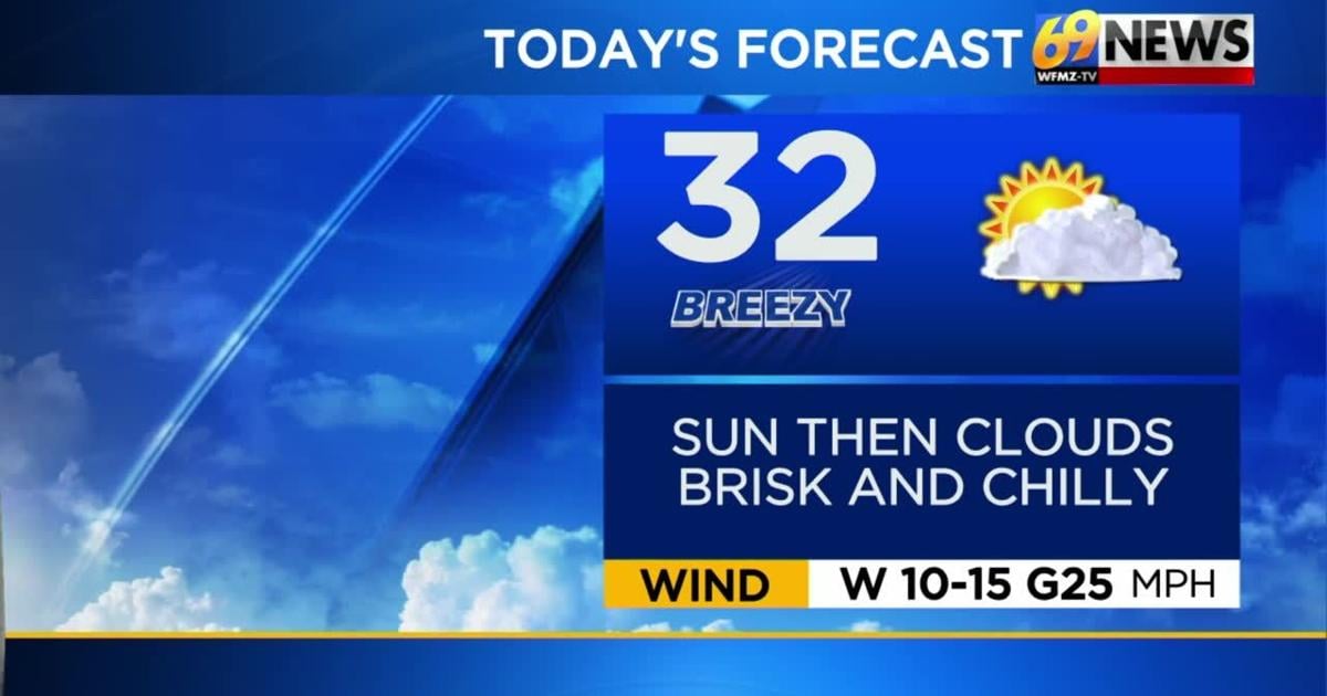
TODAY: Brisk and chilly with sun followed by clouds late. High: 32
TONIGHT: Mostly cloudy with snow showers around. Low: 25
SATURDAY: Cloudy with snow and rain showers (coating for some). High: 39 Low: 25
THE BIG PICTURE
Grab that winter gear on your way out the door! Afternoon highs will mainly be in the 20s and lower 30s while nighttime lows will mainly be in the lower 20s and teens. Chilly breezes will also be a factor; it’ll feel like the teens in the afternoon and single digits to near zero, especially overnight into Friday. Temperatures will be near seasonable Saturday, in the upper 30s, ahead of the next system which will drop down very cold air again Sunday into next week with highs in the 20s and nights in the teens. It’ll remain quiet and dry through the next several days with the exception being Saturday from an area of low pressure. We’ll be watching for a few rain or snow showers as the weekend begins – Sunday looks mainly dry.
FORECAST DETAILS
FRIDAY
There will still be a cold breeze around today with gusts around 25 mph, so feels like temperatures will be in the single digits and teens all day Friday. Highs will climb back to near freezing amid partly sunny skies and breezy conditions at times during the afternoon. Wind chills Friday will be in the teens and lower 20s.
SATURDAY
We may get a brief and modest reprieve from the bitter cold on Saturday, as a second cold front with even colder air behind it prepares to slide through. Out ahead of it, highs may return to seasonable levels and sneak up near 40 degrees but it’ll come with a price. We’ll be watching for passing rain or snow showers through the day. Accumulations shouldn’t be much, likely less than an inch for mainly north of I-78. Nighttime lows will then slip down to the mid 20s as the precipitation wraps up.
SUNDAY THROUGH NEXT WEEK
After the passage of the aforementioned front, bitter cold air will arrive for the second half of your holiday weekend; that will carry over through most of next week. Look for partly sunny skies with a brisk breeze and daytime highs near freezing Sunday and Monday. It turns even colder Tuesday and Wednesday with daytime highs stuck in the 20s! Nights will be even colder and mostly in the teens. It does look mostly dry however, with no imminent threats of accumulating snow through midweek.