A potent arctic air mass is sweeping through the Lehigh Valley, bringing bitterly cold temperatures and the potential for light snow on Saturday morning.
Wind chills could plummet below zero in the southern Poconos, creating dangerous cold conditions for residents.
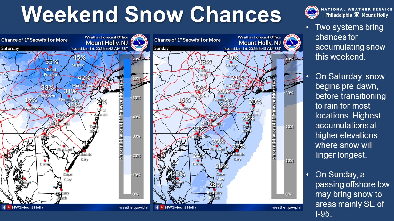
The National Weather Service forecasts light snow early Saturday, with accumulations primarily near and northwest of the I-95 corridor.
Areas north of I-78, including the Lehigh Valley and northwest New Jersey, could see one to two inches of snow, with up to three inches possible in higher elevations of the southern Poconos. The snow is expected to transition to rain for most locations by mid-morning.
Wind chills will remain in the single digits and teens through Friday morning, with westerly winds gusting to 20 to 25 mph across the region. Temperatures will struggle to reach the mid-30s during the day, with persistent breezes keeping wind chills in the 20s.
Saturday’s high temperature is forecast in the upper 30s, which is seasonable for mid-January in the Lehigh Valley.
A prolonged cold spell will follow, however, with below-normal temperatures expected from Sunday through Wednesday.
The coldest period is anticipated Monday night through Tuesday night, when wind chills could drop below zero. Daytime highs on Tuesday are projected to be in the upper teens and low 20s. Residents are advised to take precautions against the extreme cold, including protecting exposed skin, wearing multiple layers and limiting time outdoors.
By Thursday, the arctic trough may begin to lift, allowing temperatures to moderate closer to normal seasonal conditions. However, the early to mid-week period will remain significantly colder than typical January temperatures in the Lehigh Valley.
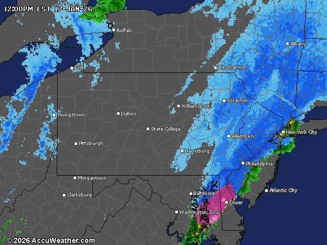
Current weather radar