
If Saturday’s storm that overperformed wasn’t enough for you, a second round of winter weather is expected to bring more snow to the Lehigh Valley on Sunday.
Unlike the first round, which delivered the area’s biggest snowfall of the season to date, Sunday’s storm is expected to create more of a nuisance than major disruption. Of course, that’s what forecasters were predicting for Saturday’s storm.
This time, though, the lower estimates for the Lehigh Valley are more likely to hold, forecasters say. Most of Lehigh and Northampton counties are expected to get anywhere between a half-inch and 2 inches of snow, with southern portions of those counties likely to land on the higher end of that range.
As of Saturday night, the National Weather Service had not issued any weather advisories for the Lehigh Valley. However, it’s a different story to our south and east, with most of the Philadelphia region under a winter weather advisory from 6 a.m. to 8 p.m. Sunday. The advisory, which includes Bucks and Montgomery counties, warns of snow accumulations of up to 3 inches.
Sunday’s winter weather will be the product of a coastal storm, that luckily, is staying far to our east. Initially it looked like our region only had an outside chance of getting any snow, but a slight shift in track has altered the forecast slightly, according to the weather service’s Mount Holly, New Jersey, forecast office.
“The latest indications are that the coastal low expected for Sunday will track a bit farther north and west than earlier thinking bringing a more widespread accumulating snowfall event to the area,” forecasters noted in the weather service’s forecast discussion Saturday evening.
Snow will begin to break out from southwest to northeast across the area around daybreak Sunday. As the low strengthens off the coast, snowfall could intensify by late morning through early afternoon, according to the weather service.
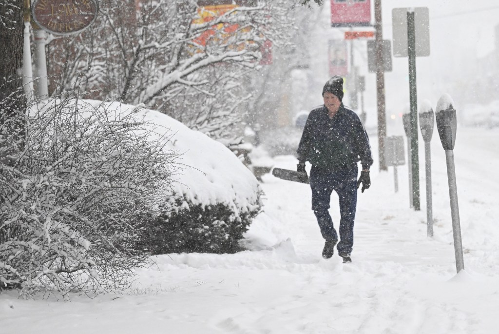
Motorists should again expect slippery road conditions and consider avoiding unnecessary travel.
The snow should taper off by late Sunday afternoon or early evening from west to east as the coastal low moves out, according to the forecast discussion.
After Sunday’s snow wraps up, the bigger story will become the freezing cold, with temperatures dropping into the upper 20s overnight. Temperatures will remain at or below freezing until Thursday, with some of the coldest weather of the season expected Monday night into Tuesday.
Monday night’s low is expected to plunge to around 9 degrees, while Tuesday’s high will be around 19, according to the weather service forecast. Wind chills Monday and Tuesday night could dip below zero in some areas.
Here is the extended forecast for the Lehigh Valley from the National Weather Service:
Sunday: A chance of snow, mainly before 5 p.m. Cloudy, with a high near 33. Calm wind becoming northwest around 5 mph in the afternoon. Chance of precipitation is 50%. New snow accumulation of 1 to 3 inches possible.
Sunday Night: Partly cloudy, with a low around 18. West wind 5 to 10 mph.
Monday: Mostly sunny, with a high near 32. Southwest wind 5 to 15 mph, with gusts as high as 25 mph.
Monday Night: Partly cloudy, with a low around 9. West wind around 10 mph, with gusts as high as 20 mph.
Tuesday: Sunny, with a high near 21.
Tuesday Night: Mostly clear, with a low around 9.
Wednesday: Mostly sunny, with a high near 32.
Wednesday Night: Mostly cloudy, with a low around 24.
Thursday: Partly sunny, with a high near 35.
Thursday Night: Partly cloudy, with a low around 16.
Friday: Mostly sunny, with a high near 29.