
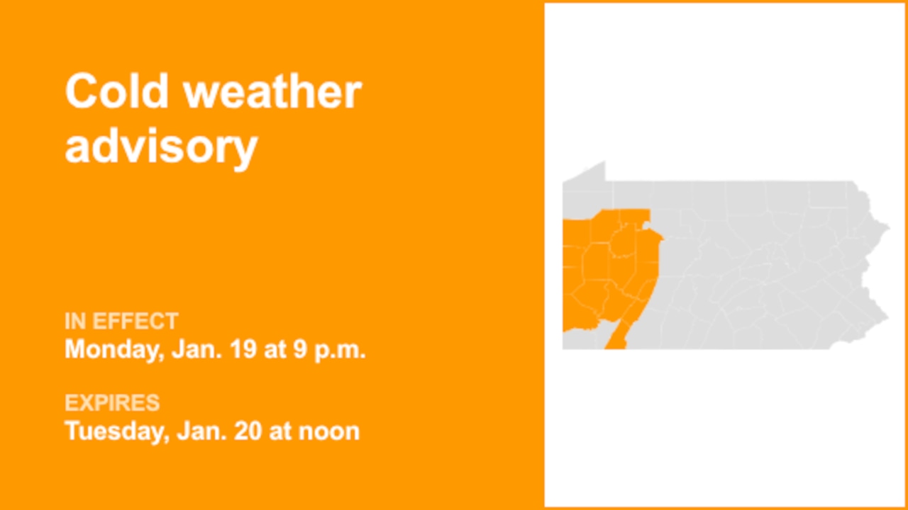
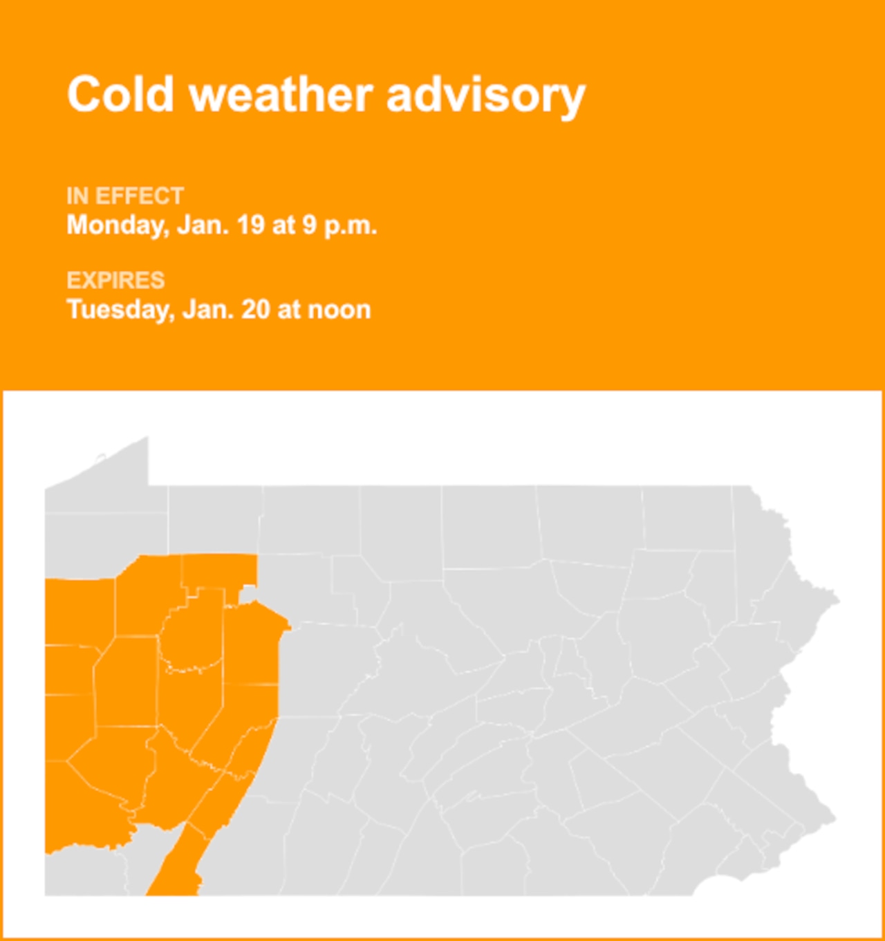
On Sunday at 11:53 p.m. the National Weather Service issued an updated cold weather advisory valid from Monday 9 p.m. until Tuesday noon for Westmoreland Ridges, Fayette Ridges and Higher Elevations of Indiana as well as Mercer, Venango, Forest, Lawrence, Butler, Clarion, Jefferson, Beaver, Allegheny, Armstrong, Washington, Westmoreland and Indiana counties.
The weather service says, “Very cold wind chills as low as 18 degrees below zero expected.”
“The dangerously cold wind chills as low as 18 below zero could result in hypothermia or frostbite if precautions are not taken,” adds the weather service. “Use caution while traveling outside. Wear appropriate clothing, a hat, and gloves. Keep pets indoors as much as possible.”
 Understanding cold weather alerts
Cold weather advisory: Be Aware. A cold weather advisory is issued when seasonably cold air temperatures or wind chill values, but not extremely cold values, are expected or occurring. Be sure you and your loved ones dress appropriately and cover exposed skin when venturing outdoors.
Extreme cold warning: Take Action! An extreme cold warning is issued when dangerously cold air temperatures or wind chill values are expected or occurring. If you are in an area with an extreme cold warning, avoid going outside. If you have to go outside, dress in layers, cover exposed skin, and make sure at least one other person knows your whereabouts. Update them when you arrive safely at your destination.
Extreme cold watch: Be Prepared. An extreme cold watch is issued when dangerously cold air temperatures or wind chill values are possible. As with a warning, adjust your plans to avoid being outside during the coldest parts of the day. Make sure your car has at least half a tank of gas, and update your winter survival kit.