The National Weather Service in State College has issued a cold weather advisory until noon Tuesday for much of Pennsylvania, where wind chills as low as minus 10 degrees have been reported.
Temperatures near zero west of I-99 and north of I-80 will slowly rise today, though gusty winds will continue to make it feel significantly colder.
In the Harrisburg area today, the high temperature is supposed to be around 22, but with wind chills, it’ll feel like zero. The overnight low will be about 10 degrees.
A quick-hitting winter storm will affect northwestern Pennsylvania Wednesday afternoon through Thursday morning, potentially bringing snowfall rates of 1 inch per hour and total accumulations exceeding 6 inches in some areas. Cameron, Clearfield, Elk, McKean, Potter and Warren counties are under a winter storm watch from noon Wednesday until 10 a.m. Thursday.
Central Pennsylvania is expecting a cold, cloudy Wednesday but with no snow. Thursday will feel much warmer, with a high temperature in the 40s.
The weekend forecast shows increasing concern about a significant winter storm that will primarily affect areas south of Pennsylvania.
While the heaviest snow is expected to remain south of the state, light accumulations are increasingly likely up to the I-80 corridor, with higher amounts possible in southeastern Pennsylvania, depending on the storm’s track.
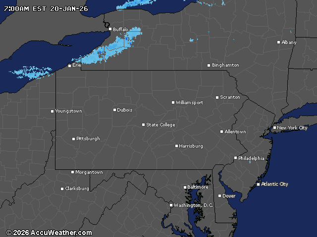
Current weather radar