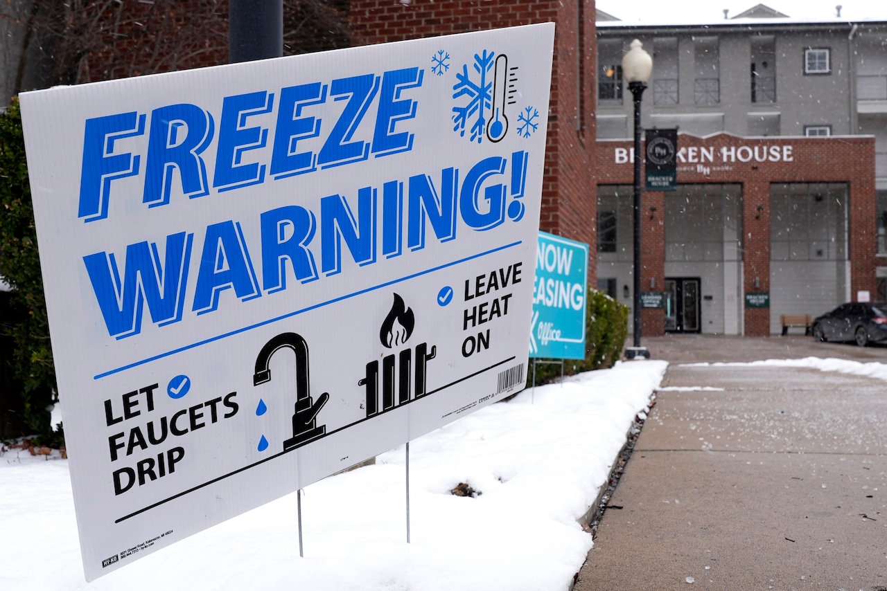
Dangerously cold wind chills between zero and 20 degrees below zero are affecting central Pennsylvania tonight through Tuesday morning, prompting cold weather advisories for much of the region north of Interstate 80 and along/west of Interstate 99.
Residents should limit time outdoors and take precautions against the extreme cold.
The arctic air mass that moved in behind this evening’s cold front will keep temperatures near zero in northwestern Pennsylvania overnight, with slightly higher readings in southeastern and south-central areas.
Gusty winds will create dangerous wind chill conditions through Tuesday morning, with the coldest values in the northwest portion of the state.
Temperatures will moderate slightly later in the week but remain below normal with highs in the 20s and low 30s. Snow chances return late Wednesday into Thursday, with the western third of central Pennsylvania likely to receive 1 to 3 inches of accumulation, while central and eastern portions can expect a coating to 1 inch.
The National Weather Service is also monitoring a potential weekend storm system that could bring more significant snowfall to the region.
Current models suggest the system will track from the southern Appalachians to the Carolina coast, with uncertainty about how far north substantial snow might extend.
Southern tier counties in Pennsylvania could see several inches of accumulation.
Wind will continue from the west with gusts of 20-25 mph at all terminals on Tuesday, creating difficult travel conditions in some areas.
The cold pattern is expected to persist through the weekend, with temperatures trending downward again heading into the weekend.
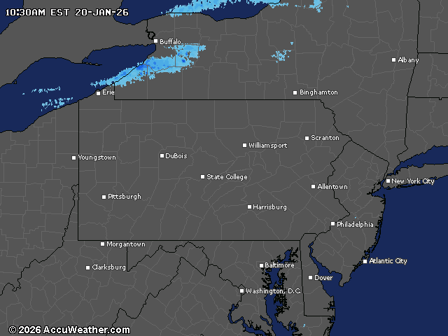
Current weather radar