
As temperatures drop to the single digits some nights this week in the Lehigh Valley, forecasters are keeping an eye on a potential winter storm that could bring even more snow to the region this weekend.
Meteorologists with the National Weather Service’s forecast office in Mount Holly, New Jersey, wrote Tuesday morning in their daily forecast discussion that there is an “increasing potential” for an impactful winter storm with “substantial snow accumulations” across the region starting Saturday.
Very cold air will remain in place over the area today/tonight. Some moderation in temperatures is expected Wed and Thu before cold air returns. We are monitoring increasing potential for an impactful winter storm across portions of the area this weekend. (1/2) pic.twitter.com/IGYIZn2btU
— NWS Mount Holly (@NWS_MountHolly) January 20, 2026
The storm could start as early as late Saturday and continue through Sunday night, forecasters said. With the storm still several days out, forecasters noted there is still a lot of uncertainty, and that it’s too early to get into specific details such as potential snowfall accumulation and the exact timing.
A map shared by the weather service Tuesday morning showed the Lehigh Valley, Berks County and Poconos in an area with a 40% chance of getting 5 inches or more of snow from the storm under the current forecast models. To our south, the chances were even greater for the greater Philadelphia region, at between 45% and 55%, according to the map.
Those models on Tuesday also put the likelihood of storm impacts in the Lehigh Valley at 40%, or a moderate level. Moderate storm impacts could include “disruptions to daily life” such as hazardous driving conditions and closures.
“We’re certainly keeping an eye on it,” said Mike Lee, a weather service meteorologist.
The potential weekend snow threat will follow a prolonged period of cold to start off the week. Lows are expected to be in the single digits during at least two nights over the next few days, and highs will likely be in the 20s and 30s, according to the weather service. Thursday will be the warmest, with a high of 41 and a low of 20, forecasters said
With wind chills, it could feel even colder over the next few days.
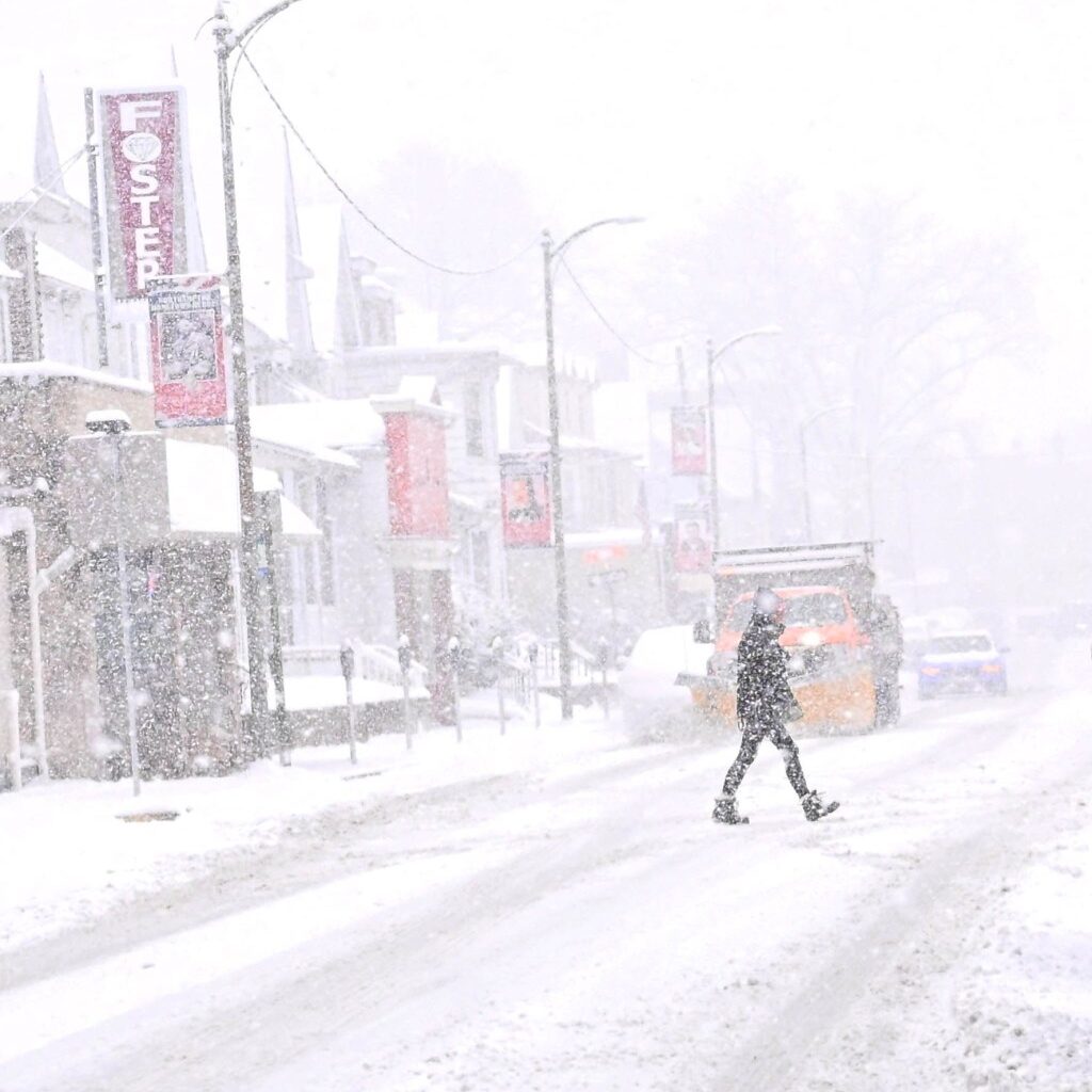
The cold comes after a weekend of snow. About 8.4 inches of snow fell Saturday and Sunday in the Lehigh Valley. Lee warned of potentially icy conditions going forward.
“Anything that melts can easily refreeze,” he said.
Ahead of the weekend snow threat, the rest of the week should be dry and sunny.
Here is the extended forecast from the National Weather Service:
Wednesday: Increasing clouds, with a high near 32. Wind chill values as low as zero. Light south wind increasing to 5 to 10 mph in the morning.
Wednesday Night: Mostly cloudy, with a low around 27. South wind 5 to 10 mph.
Thursday: Mostly sunny, with a high near 41. Southwest wind 5 to 10 mph, with gusts as high as 20 mph.
Thursday Night: Partly cloudy, with a low around 20.
Friday: Partly sunny, with a high near 30.
Friday Night: Partly cloudy, with a low around 8.
Saturday: Partly sunny, with a high near 17.
Saturday Night: A chance of snow. Mostly cloudy, with a low around 9. Chance of precipitation is 40%.
Sunday: Snow likely. Mostly cloudy, with a high near 19. Chance of precipitation is 60%.
Sunday Night: A chance of snow. Mostly cloudy, with a low around 8. Chance of precipitation is 30%.
Monday: Mostly sunny, with a high near 22.