
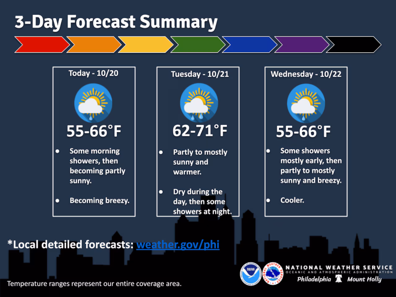
A cold front moving through the Lehigh Valley early Monday morning will bring significantly cooler temperatures and gusty west winds, with highs only reaching the upper 50s to mid-60s on Monday.
The National Weather Service forecast indicates winds will be particularly strong, with winds 15-20 mph gusting to 30 mph throughout the day.
Temperatures will drop approximately 10 to 15 degrees compared to Sunday’s readings, creating a noticeable shift in weather conditions for the region.
Residents can expect mostly dry conditions after some lingering light rain through mid to late morning. The westerly winds will help dry out the area quickly, with clearer skies developing throughout Monday.
Overnight temperatures will fall into the 40s, providing a crisp autumn feel.
The cooler pattern continues Tuesday, with temperatures rebounding slightly and potentially reaching near 70 degrees. A weak cold front may bring some light showers Tuesday night.
Wednesday will see continued cooler conditions with west-northwest winds and potential scattered sprinkles.
Looking ahead, the weekend appears more stable with high pressure building in, promising dry and slightly warming conditions. Friday and Saturday should offer relatively calm weather with increasing cloud cover and moderate winds.
Follow your local forecast from AccuWeather at lehighvalleylive.com/weather with National Weather Service watches, warnings and other advisories available as they’re issued at lehighvalleylive.com/weather-alerts.
Current weather radar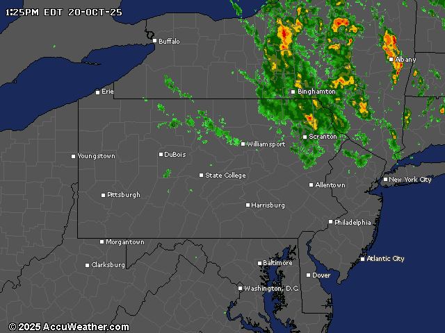
Generative AI was used to produce an initial draft of this story, which was reviewed and edited by lehighvalleylive.com staff.
If you purchase a product or register for an account through a link on our site, we may receive compensation. By using this site, you consent to our User Agreement and agree that your clicks, interactions, and personal information may be collected, recorded, and/or stored by us and social media and other third-party partners in accordance with our Privacy Policy.