Stubborn ice clung to windshields, sidewalks and driveways as Lehigh Valley residents awoke Wednesday.
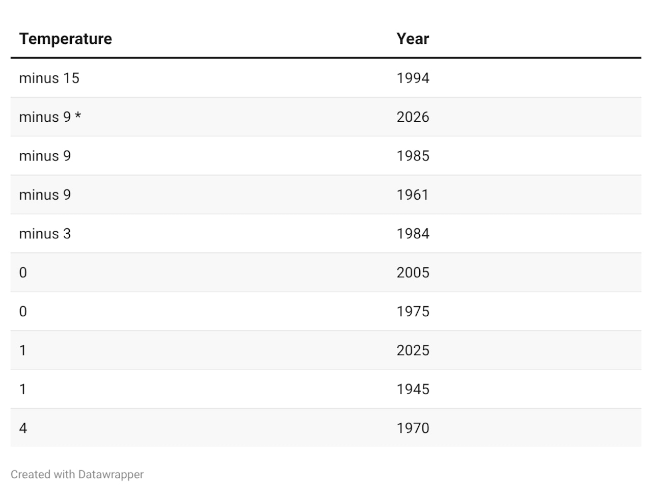
The National Weather Service says the preliminary low temperature dipped to minus 9 degrees at its Lehigh Valley International Airport climate station.
That ties for second-coldest, alongside lows recorded on Jan. 21 in 1985 and 1961, the weather service says.
The record low for the date is minus 15, set in 1994.
“Today’s record lows below were all set during the historic cold wave in 1985 or 1994,” the weather service posted Wednesday to social media.
The low of minus 15 set Jan. 21, 1994, is the Lehigh Valley’s coldest-ever temperature in records since Jan. 1, 1939, at the airport, the weather service says.
The weather service forecasted bitterly cold conditions to continue through Wednesday morning.
“Arctic high pressure is currently centered over the Mid-Atlantic,” the weather service said in a forecast discussion. “Skies are clear and winds are nearly calm across the entire area. The result has been ideal conditions for radiational cooling.”
A return to more seasonal temperatures is expected during the day Wednesday and Thursday before temperatures plummet again, ahead of a potential major snowstorm this weekend.
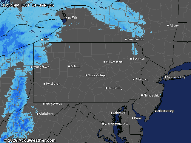
Current weather radar