
As a major snowstorm with the potential for historic accumulation approaches our region, our live weather blog will keep you informed with continuous updates from our newsroom. From initial forecasts and readiness tips to real-time reports on road conditions and power outages, our blog is your primary source for everything you need to know to stay safe and prepared.
What you can expect from our live coverage:
Constant forecast updates: Changes in snow totals and timing as new data comes in.
Safety and readiness: Tips on winterizing your home and what to keep in your vehicle.
Live impacts: Real-time reporting on road closures, business cancellations and utility/power issues.
Community reports: Updates from our reporters on the ground across Northeast Pennsylvania.
Friday, 7:40 p.m.: PennDOT said all driver license and photo centers, including its full-service center in Harrisburg, will be closed Monday and Tuesday because of the predicted snow. Customers who have road tests scheduled will be contacted by PennDOT staff to reschedule, or they can go online to reschedule. Customers may still obtain a variety of driver and vehicle products and services, including all forms, publications and driver training manuals, online through PennDOT’s Driver and Vehicle Services website.
Friday, 4:45 p.m.: The Wyoming County Courthouse will be closed to all nonessential employees on Monday due to the storm.
Friday, 4:15 p.m.: The storm is still a couple of days away, but Gov. Josh Shapiro has already signed a disaster declaration. The Proclamation of Disaster Emergency makes resources available to prepare for and support response efforts.
The disaster declaration will allow the state to quickly draw down funding and provide state agencies with the resources needed to assist counties and municipalities with winter storm response efforts. The 2025-26 state budget doubled the amount of state funding available, from $20 million to $40 million, to enable state agencies to respond to disasters.
Friday, 3:45 p.m.: Forecasts predict the storm will arrive in NEPA with full force during the overnight hours Saturday night into Sunday morning. That means, there is still time to get ready for the worst circumstances the heavy snow and bitter cold can bring. Plenty of helpful tips for dealing with potential effects of winter storms online at Ready.gov, a public service campaign designed to educate and empower the American people to prepare for, respond to and mitigate emergencies and disasters.
Among the tips:
Learn how to keep pipes from freezing.
Make sure batteries are fresh in battery powered smoke alarms and carbon monoxide detectors, and ensure battery backups are operational in hard-wired detectors.
Gather enough supplies in case you need to stay in the safety of your home for several days, including food and medication.
Create an emergency supply kit for your vehicle, including jumper cables, warm clothes, blankets, nonperishable snacks and water, if evacuation is necessary and possible.
Remember the needs of your pets.
Have extra batteries for flashlights and radios available.
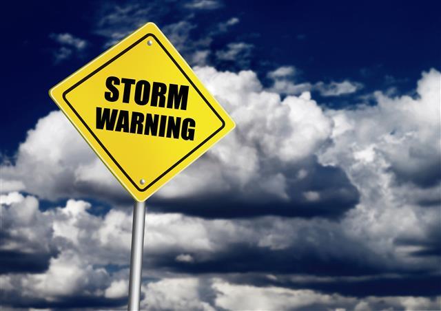
Friday, 2:10 p.m.: The National Weather Service issued a Winter Storm Warning for all of Northeast Pennsylvania, lasting from Sunday at 1 a.m. until 7 p.m. on Monday. It cautions that travel could be “difficult to impossible” through the Monday morning and evening commutes.
A little weather primer for those wondering about the difference between a storm warning and a storm watch, which the area was in through Thursday evening. According to the NWS, it is essentially a matter of timing. A Winter Storm Watch is issued when there is “potential for significant and hazardous winter weather within 48 hours.” A Winter Storm Warning comes when a “significant combination of hazardous winter weather is occurring or imminent.” Basically, the warning comes as the path of the storm becomes more clear.
Friday, 1:05 p.m.: State officials, including from PennDOT and the Pennsylvania State Police, are currently holding a press conference to discuss measures the state is taking to prepare for the weekend storm.
Friday, 12:25 p.m.: Certainly, it has been a while between heavy winter storms in Northeast Pennsylvania. But it appears our streak of relatively snow-mild winters around the region will end by the time the predicted storm hits us on Saturday.
And, this is a massive storm. The Weather Channel predicts ice could be “catastrophic” in the South, and heavy snowfall in the 12-to-18-inch range along a path reaching from the southern Rockies, through the Texas panhandle and well into New England by the time the storm clears the U.S. on Monday. Yes, our entire region is in the heaviest predicted snow path.
Right now, Accuweather is predicting aggressive snowfalls regionwide:
12-18 inches in the Scranton/Wilkes-Barre area, Tunkhannock, Hazleton and Pottsville.
10-15 inches in locations throughout Susquehanna County, and into the western reaches of the Poconos.
8-12 inches in Milford near the northeast border with New York State.
6-10 inches in Stroudsburg and the Delaware Water Gap.