
Now that this weekend’s powerful winter storm has passed, a prolonged and potentially record-breaking arctic cold snap will plunge the Lehigh Valley into dangerously low temperatures, with wind chills expected to drop below zero degrees for multiple nights this week.
The National Weather Service has issued a Cold Weather Advisory from 7 p.m. Monday to 10 a.m. Wednesday, warning residents of life-threatening wind chills and extreme cold.
Today’s high temperatures will only reach the mid to upper 20s, with overnight lows dropping into single digits. Wind gusts between 20 and 30 mph will create wind chills as low as 15 degrees below zero in the southern Poconos.
Tuesday will see even colder conditions, with daytime highs struggling to reach the low 20s and overnight temperatures potentially falling below zero across the region.
The coldest night is expected to be Thursday night, with wind chills predicted to range between 15 and 25 degrees below zero.
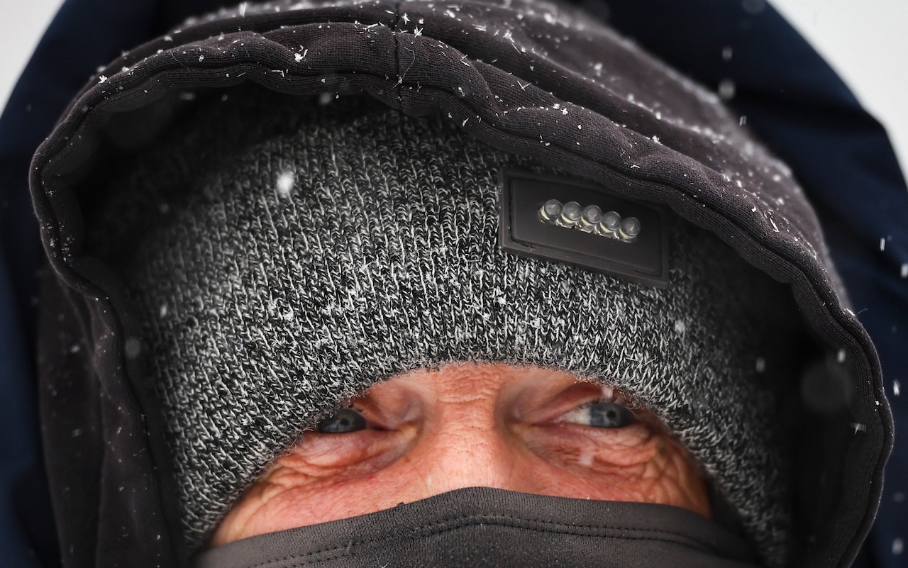
The National Weather Service emphasizes the rare combination of cold duration and intensity, warning that frostbite and hypothermia can occur within minutes of exposure.
Residents are strongly advised to limit outdoor activities, dress in multiple layers, and protect exposed skin.
Looking ahead, the arctic air mass is forecast to persist through the weekend, with daytime highs remaining in the mid to upper teens. There is a low probability of a coastal storm developing next weekend, but details remain uncertain.
Residents should continue to monitor local forecasts and take necessary precautions to stay warm and safe during this extreme cold event.