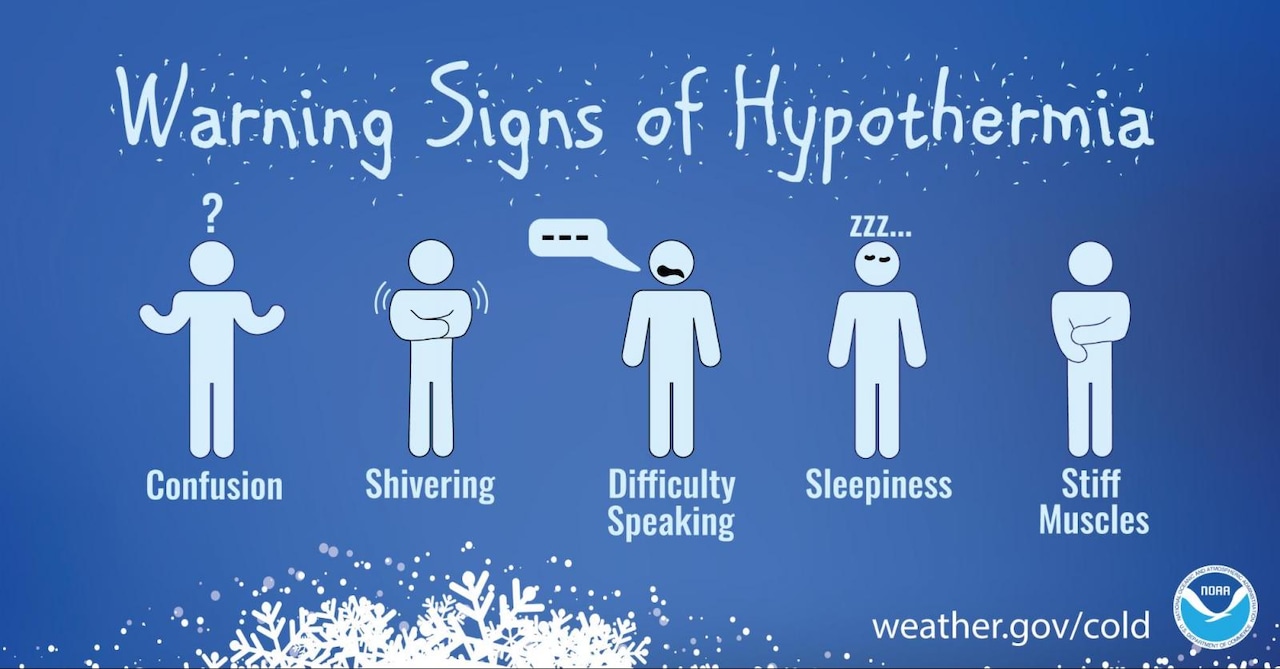
Dangerously cold conditions persist through Saturday morning across the Lehigh Valley, Poconos and northwestern New Jersey, with wind chills dropping below zero degrees overnight.
A rapidly intensifying coastal storm developing off the East Coast this weekend could bring high winds.
The National Weather Service on Friday was forecasting no snow for the Lehigh Valley, with the potential for a dusting to 4 inches along the coast of the Delmarva peninsula.
Friday is forecast as the coldest day of this extended cold stretch, with highs failing to reach 20 degrees in most areas and the higher terrain of the Poconos likely staying below 10 degrees.
Friday night will be even colder, with widespread single-digit lows and some spots potentially dropping below zero.
A Cold Weather Advisory remains in effect through 10 a.m. Saturday for all Pennsylvania zones in the Lehigh Valley and Poconos region, and extending into northwestern New Jersey.
 Temperatures will fail to reach 20 degrees Friday, Jan. 30, 2026, across most of the Lehigh Valley, Poconos and northwestern New Jersey, with single-digit lows overnight and some areas dropping below zero.National Weather Service
Winds should relax overnight as a small area of high pressure moves in, though mid-level clouds may develop late, slightly limiting the coldest temperatures.
The weekend coastal storm will bring the strongest impacts very early Sunday morning through Sunday evening. Peak wind gusts near or above 45 mph are possible in the higher terrain of the southern Poconos and along coastal areas.
Saturday night through Sunday morning, most areas north and west of Interstate 95 will see only a 20% chance for accumulating snow, with any snow amounts generally remaining under an inch.
The extended cold pattern continues into next week, with most of the region remaining below freezing through at least Wednesday.
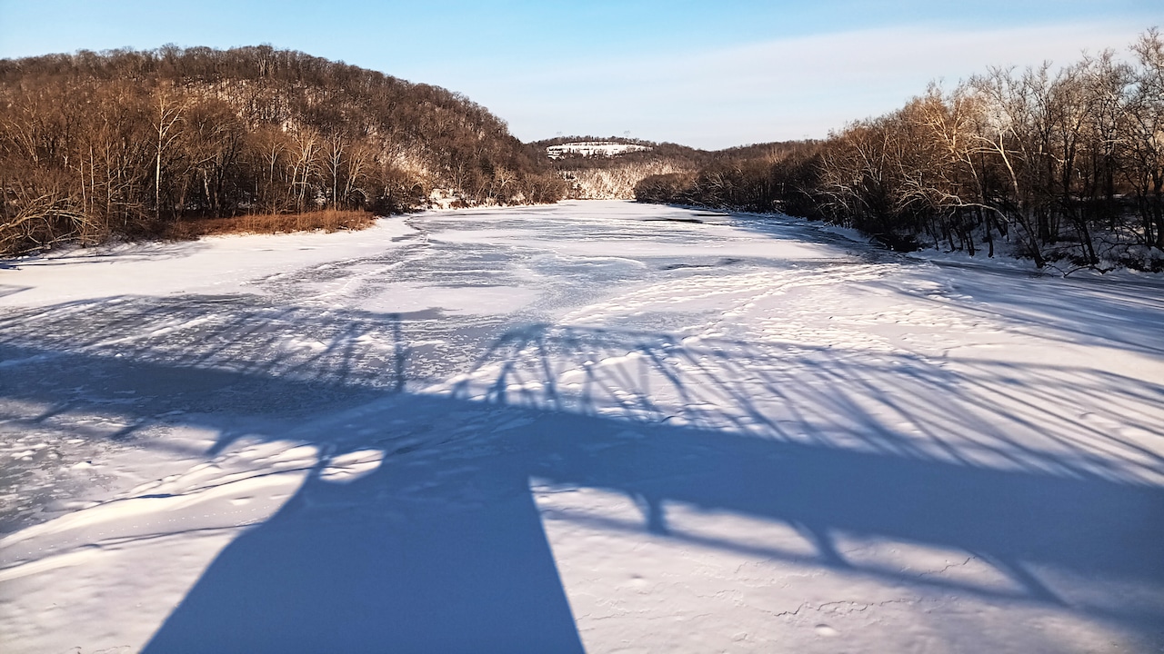
This current stretch of below-freezing temperatures, which began last weekend, is on track to become at least two weeks long if some areas don’t warm above freezing early next week. This would represent a top-five longest below-freezing stretch for many climate sites in the region, increasing risks for frozen pipes and widespread ice on waterways.
A low-pressure system passing south of the region next week could bring an additional round of snow to portions of Pennsylvania, though the exact track remains uncertain. Temperatures are expected to remain about five to 10 degrees below normal through the end of the month.
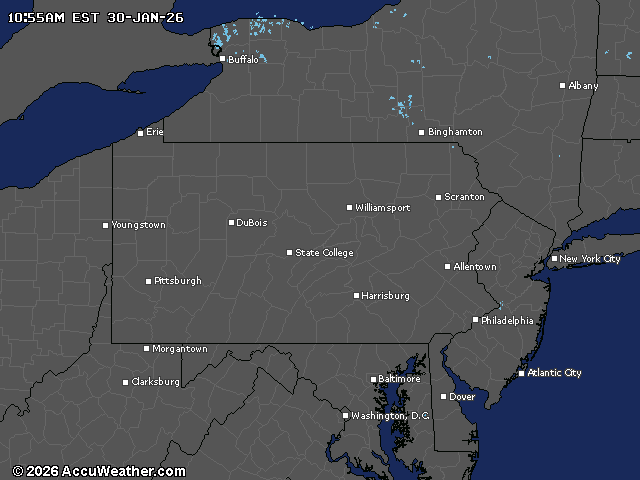
Current weather radar