An Arctic cold front will bring a shot of snow Friday night into Saturday morning to the Lehigh Valley region, followed by dangerously cold wind chills and strong winds through the weekend.
The National Weather Service forecasts wind chills will plunge to 10 to 25 degrees below zero Saturday and Sunday nights.
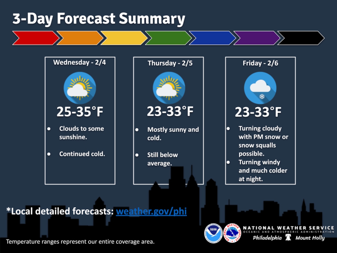
Two rounds of snow are possible with this system. The first may occur during the day Friday as overrunning precipitation develops along the warm front, with most areas expecting a quick coating to a half-inch of accumulation.
The second round will accompany the cold front late Friday night into early Saturday morning, with snow squalls possible. Snow squalls could bring gusty winds, reduced visibility and quick bursts of accumulating snowfall, particularly in the Poconos.
Strong northwest winds will increase sharply Saturday after the front clears by daybreak. Gusts around 40 to 50 mph are likely Saturday across the entire area, with possibly higher gusts in the Poconos and along the coast.
The strongest winds are expected Saturday afternoon and evening before gradually diminishing overnight. The National Weather Service will continue monitoring conditions to evaluate whether wind advisories may become warranted.
Temperatures will remain dangerously cold through the weekend. High temperatures Saturday and Sunday will range from the teens to low 20s, with the Pocono Plateau potentially not escaping single digits. Overnight lows will dip to single digits and as low as 5 degrees below zero Saturday and Sunday nights. With gusty northwest winds, wind chills will create dangerous conditions for any extended time outdoors.
Below-normal temperatures will persist through the end of the week and into early next week. Highs through Friday will reach the upper 20s to mid-30s with lows in the single digits and teens. Light winds through Friday will keep wind chills near ambient air temperatures.
Conditions will begin to moderate somewhat by Monday, though temperatures are expected to remain below normal through the middle of next week.
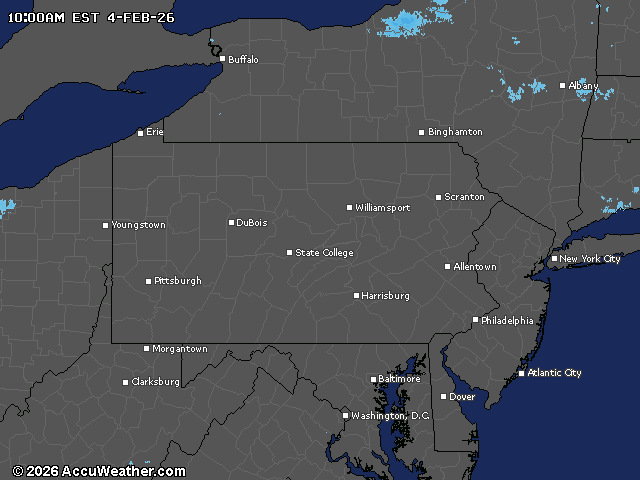
Current weather radar