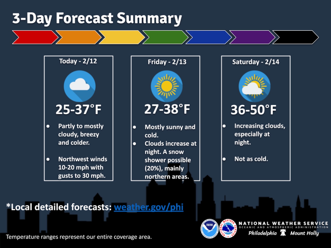
Northwest winds will persist through Thursday with gusts of 20 to 25 mph, keeping conditions breezy despite moderating temperatures across the Lehigh Valley.
High temperatures Thursday will reach the low to mid 30s, though wind chills will make it feel about 10 degrees colder, according to the National Weather Service forecast.
Poconos elevations will be cooler, with highs in the low 20s. Partly to mostly cloudy skies are expected.
Winds will diminish Thursday night as high pressure builds in and skies clear Friday. Overnight lows will drop to the teens to low 20s, with Friday featuring mainly sunny skies and highs again in the 30s before a warming trend for the weekend.
A moderating air mass will move into the region Saturday and Sunday, with highs climbing to the 40s across most of the Lehigh Valley.
Low pressure sliding to the south later Sunday into Monday could bring a chance of precipitation, with rain or snow possible depending on the system’s track and intensity. The National Weather Service notes a low probability of a stronger storm system that could produce accumulating snow, though current guidance favors a weaker system with rain more likely than snow.
At Lehigh Valley International Airport, the weather service forecasts a chance of snow mixing with rain Sunday afternoon, with a chance of all snow continuing overnight before ending around sunrise on Monday — Presidents’ Day.
Conditions will continue warming into next week, with highs by Tuesday and Wednesday expected to reach well into the 40s for most areas.
Ice cover on area rivers will persist through the weekend, though daytime temperatures rising above freezing may slow ice growth during daylight hours.
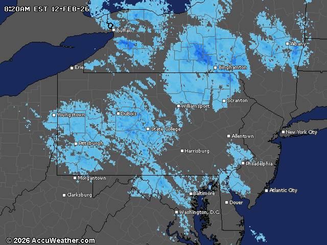
Current weather radar