A fast-moving weather system will bring a chance of snow showers this weekend to areas north of Interstate 78 in Pennsylvania, though accumulations are expected to be minimal.
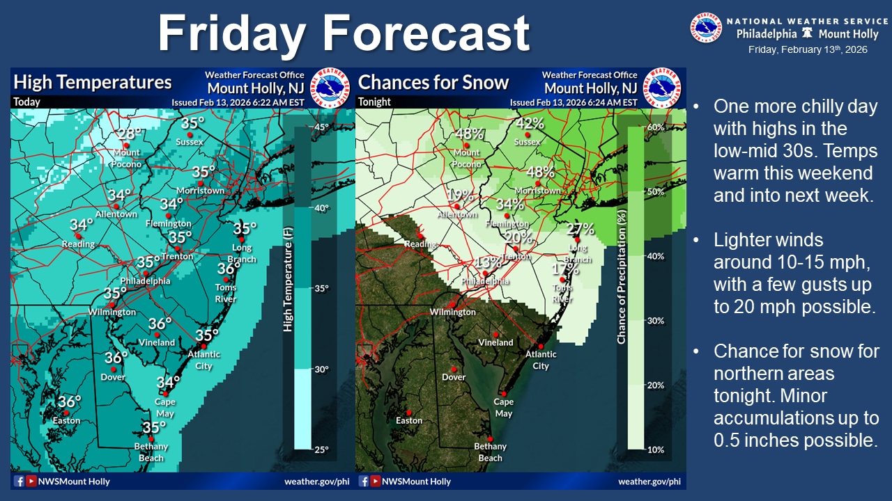
Friday marks the final day of below-normal temperatures before a moderating trend takes hold through the weekend and into next week, according to the National Weather Service forecast.
Snow shower chances are highest for the Poconos and areas north of I-78, with 20 to 50% probability of precipitation.
Initially dry air may cause some snow to evaporate before reaching the surface, but model data suggests moisture will increase as the system moves through. Any snow accumulation will likely measure only a few tenths of an inch at most.
With temperatures in the teens and low 20s during the event, untreated surfaces could become slippery, though the system is fast-moving and should exit the region by sunrise Saturday.
Friday will remain cold and mostly sunny, with highs only reaching the low to mid-30s. Clouds will increase at night ahead of the system, with lows dropping to the mid to upper teens and low 20s.
The weekend will see improving conditions with highs around 40 degrees. West-northwest winds Saturday will peak around 10 mph, becoming easterly and calm by Sunday.
A low-pressure system sliding south of the region could bring rain primarily to coastal areas Sunday into Monday. This system is now expected to track farther south than previously forecast, limiting impacts to the Lehigh Valley.
At Lehigh Valley International Airport on Friday, the weather service forecast a 30% possibility of snow beginning around 7 p.m. Sunday, with diminishing chances for precipitation continuing through the afternoon on Monday — Presidents Day. Accumulations of less than one-third of an inch are possible, with a slight chance of rain mixing in.
By midweek, temperatures will moderate significantly, with highs well into the 40s and even some 50s possible over lower elevations early next week.
This warming trend, combined with rising dewpoints above freezing, should help break up the stubborn snowpack that has persisted across the region.
Another chance of precipitation, primarily rain, is possible Wednesday into Thursday, mainly for areas north of the east-west Pennsylvania Turnpike (Interstate 76/276).
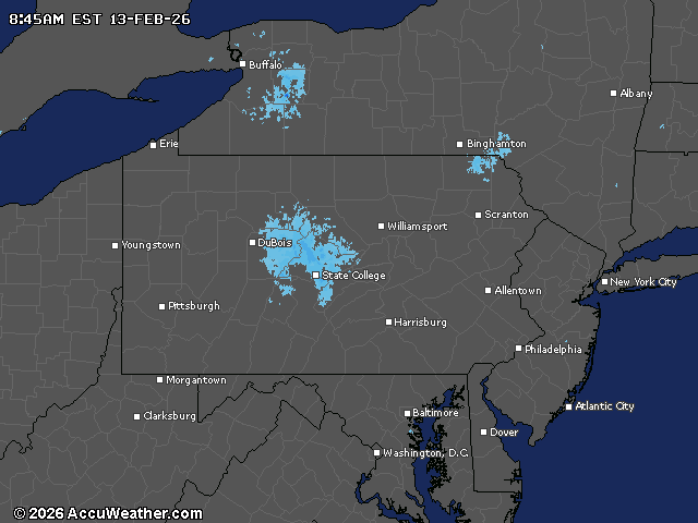
Current weather radar