
The Lehigh Valley could get more snow this weekend, following a period of above-average temperatures.
Forecasters are monitoring a system that could impact the region Sunday, but specifics are not yet clear on what it might entail, according to the National Weather Service in Mount Holly, New Jersey. NWS meteorologist Ray Martin said they are reasonably confident there will be a storm, but what impacts, if any, will depend on how the storm tracks.
The latest guidance, he said, showed the system shifting to the south, meaning the region could get a little bit of snow. Forecasters said it is still a bit too early to get into specifics yet.
“Five days out, you really don’t know,” he said Wednesday.
Any snow that falls would also add to the existing snowpack that has remained since a storm dropped more than a foot of snow almost a month ago.
In the days that followed that storm, temperatures dropped to well-below freezing, causing complications to snow cleanup efforts. Martin said that should not be the case for this next potential storm. The long-term forecast shows temperatures warming up.
“It definitely looks like were overall heading to a warmer pattern,” he said.
Martin noted that a decent amount of that existing snow should melt through the next few days, before the next potential storm. Temperatures are expected to be in the 40s through Saturday, and rain is likely Wednesday and Friday.
Both Lehigh and Northampton counties remain under drought conditions, and the upcoming rainfalls are not likely going to bring a lot of rain.
Martin said that is a good thing though because heavy rainfall, in combination with the existing snow on the ground, could lead to flooding.
The Lehigh Valley is about 9 inches below normal rainfall over the past six months, according to weather service data.
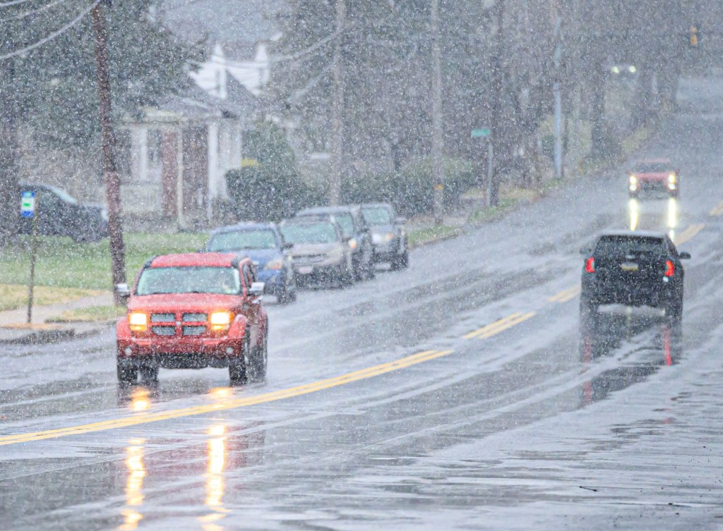
Outside of potential rain Wednesday evening, the Lehigh Valley is under a Code Orange air quality day, meaning it is unhealthy for sensitive groups such as those with heart or lung disease, older adults, children and teens. Very light surface winds, fog and light rainfall will bring fine particulate matter concentrations to that level, according to the state Department of Environmental Protection.
Saturday should be clear with temperatures in the 40s. Here is the extended forecast from the National Weather Service:
Thursday: A chance of rain after 1 p.m. Patchy fog before 10 a.m. Otherwise, cloudy, with a high near 42. Calm wind becoming east around 5 mph in the afternoon. Chance of precipitation is 30%. New precipitation amounts of less than a tenth of an inch possible.
Friday: Rain. High near 42. East wind around 5 mph. Chance of precipitation is 90%. New precipitation amounts between a quarter and half of an inch possible.
Saturday: Mostly sunny, with a high near 47.
Sunday: Snow likely, mainly after 1 p.m. Cloudy, with a high near 37. Chance of precipitation is 60%.
Monday: A chance of snow. Mostly cloudy, with a high near 37. Chance of precipitation is 30%.
Tuesday: Mostly sunny, with a high near 31.