
Western Pennsylvania is bracing for heavy rain and severe to strong storms Thursday evening through Friday morning. Back-to-back Severe Weather Alert DaysThursday and Friday are both Alert Days. Isolated showers start popping up through the afternoon. The strong to severe storms start to move in after 8pm and continue into early Friday morning. The wettest time frame will be overnight into Friday morning with periods of rain and isolated strong to severe thunderstorms. We could see over an inch of rain across Western PA. Localized flooding is a concern for the Friday morning commute. The region will begin to dry out by 8 a.m.Cool weekend with sunshineTemperatures will be knocked back, again, into the 40s to wrap up the work and school week. The weekend will be dry and seasonably cool. Saturday will only be in the 40s before skipping to mid 50s on Sunday. Skies will be mostly sunny to partly cloudy.A warming trend will take shape for the final days of March.TODAY – Alert Day: Isolated showers through the day. More rain, heavy at times, with isolated thunderstorms at night. Breezy and warmer, high: 74°, low: 42°.FRIDAY – Alert Day: Early morning rain & t’storms. Much cooler with some clearing by the afternoon. High: 49°, low: 25°.SATURDAY: Seasonably chilly with sun and clouds. High: 45°, low: 29°.
Western Pennsylvania is bracing for heavy rain and severe to strong storms Thursday evening through Friday morning.
Back-to-back Severe Weather Alert Days
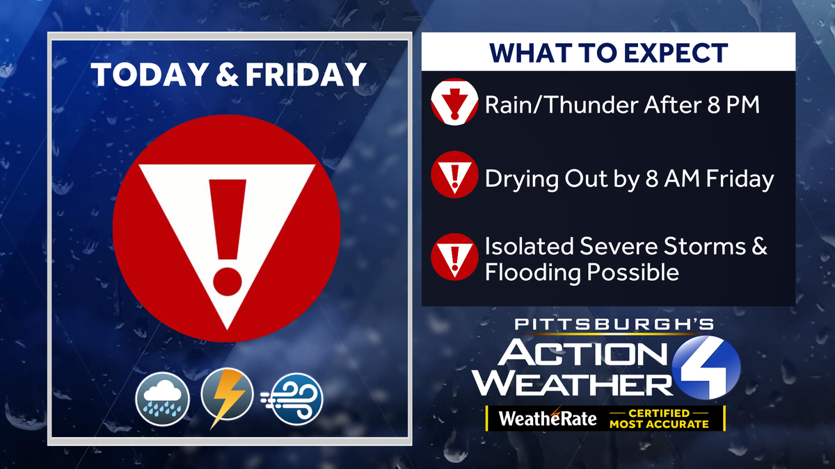
Thursday and Friday are both Alert Days. Isolated showers start popping up through the afternoon. The strong to severe storms start to move in after 8pm and continue into early Friday morning.

The wettest time frame will be overnight into Friday morning with periods of rain and isolated strong to severe thunderstorms. We could see over an inch of rain across Western PA. Localized flooding is a concern for the Friday morning commute. The region will begin to dry out by 8 a.m.

Cool weekend with sunshine
Temperatures will be knocked back, again, into the 40s to wrap up the work and school week. The weekend will be dry and seasonably cool. Saturday will only be in the 40s before skipping to mid 50s on Sunday. Skies will be mostly sunny to partly cloudy.
A warming trend will take shape for the final days of March.

TODAY – Alert Day: Isolated showers through the day. More rain, heavy at times, with isolated thunderstorms at night. Breezy and warmer, high: 74°, low: 42°.
FRIDAY – Alert Day: Early morning rain & t’storms. Much cooler with some clearing by the afternoon. High: 49°, low: 25°.
SATURDAY: Seasonably chilly with sun and clouds. High: 45°, low: 29°.