
SHORT TERM FORECAST
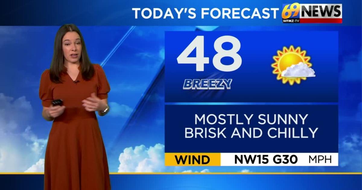
TUESDAY: Mostly sunny, brisk, and chilly; a few morning flurries in the Poconos. High: 48
TUESDAY NIGHT: Becoming mostly clear; cold as winds diminish. Low: 26
WEDNESDAY: Sunny, cool, and quiet. High: 52
FORECAST SUMMARY
Our coolest day of the next 7+ will be today. Highs will struggle to get to that 50-degree mark with wind chills making us feel even chillier. Continuing the cool trend, a very unseasonably cold night tonight will prompt a Freeze Warning to go into effect from 2am to 9am tomorrow morning. So, if you put any plants outside, make sure to bring them in. The good news is we will have lots of sunshine which continues even into the weekend.
DETAILED FORECAST
TUESDAY AND WEDNESDAY
Here’s the coolest part of the forecast, specifically Tuesday. While we’ll see partly sunny skies, highs will only reach the upper 40s, a good 10 degrees cooler than our average for early April. To add to the chill, a brisk northwest breeze sustained around 15-20mph and gusting to 30+mph will make it feel a bit colder than it already is. It should be a mostly dry day, minus a few lingering morning flurries in the Poconos. Tuesday night looks cold, with freeze watches south of the Lehigh Valley where the growing season has begun, although it’s admittedly pretty early. Lows will drop into the mid 20s as winds diminish and skies become mostly clear. A mostly sunny and still cool but less breezy Wednesday will follow, as highs inch up just a tad into the low 50s.
THURSDAY AND FRIDAY
High pressure slowly slides off the East Coast, allowing for winds to shift around to the southwest, a warmer wind direction. We’ll keep partly to mostly sunny skies but experience a steady warming trend. On Thursday, highs should be seasonable again and in the upper 50s, warming into the upper 60s on Friday ahead of a weak cold front. That cold front, which should be moisture-starved, will bring in some extra clouds Friday night and early Saturday, and perhaps a spotty shower that may end up being the exception to the otherwise dry rule.
THIS WEEKEND
Minus that weak cold frontal passage early Saturday, it’s a fairly quiet weekend, with clouds mixing with some sunshine Saturday, and partly sunny skies expected Sunday as well. Highs will be in the upper 60s both days, on the milder side of average, with even warmer weather (likely some 80s) awaiting early next week.
TRACK THE WEATHER:
LINKS: HOUR BY HOUR | RADAR | TRAFFIC