
SHORT TERM FORECAST
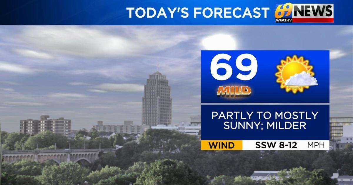
FRIDAY: Partly to mostly sunny and milder. High: 69
FRIDAY NIGHT: Partly to mostly cloudy with a passing rain shower. Low: 46
SATURDAY: Mostly sunny and breezy. High: 62, Low: 36
FORECAST SUMMARY
A nice warming trend will bring highs into the 60s and 70s over the next 3 days, with some summer-like 80s still on track to arrive next week. All the while, an extended stretch of dry weather should continue as well, with little to no rain in the forecast until the middle of next week, save a spotty sprinkle or shower in the forecast for this Friday night.
While pollen levels will be increasingly high since there’s no rain to regulate it, and spring brush fire danger will likewise be high at times given the increasing dryness, it’s a nice stretch of weather that will vary between mild and warm through next week.
DETAILED FORECAST
FRIDAY AND FRIDAY NIGHT
High pressure slides off the East Coast but continues to control our weather, delivering yet another day of sunshine. Expect partly to mostly sunny skies on Friday, with noticeably milder highs around 65-70 degrees by afternoon.
A weak cold front will approach Friday night, quietly sliding south through the area with nothing more than a period of mostly cloudy skies overnight, and perhaps a spotty shower or two, with just enough rain to wet the ground in a few spots, more likely from the Lehigh Valley points north and west.
Friday night will be milder too, with lows in the mid 40s as our weak front slides through.
THIS WEEKEND
The upcoming weekend looks to be a nice one weather-wise, even as it cools off just a touch behind our Friday night front.
Skies should become mostly sunny on Saturday, with a bit of a brisk northwest breeze around 10-15mph, and seasonably mild highs in the low 60s to start your weekend.
Come Sunday, high pressure builds overhead, allowing for lighter winds and continued dry and pleasant weather. Expect partly sunny skies on Sunday with highs inching up a few degrees into the mid 60s to wrap up a nice spring weekend, with a taste of summer still on track to arrive next week.
MONDAY AND TUESDAY
Get ready for a surge of warmth to start next week, which will make its presence felt starting Monday, then peak through the middle of the week. On Monday, a warm front will slide through the area, likely with some extra clouds for a time but with no rain. Behind that front, southwest winds will kick up, and the warmth will be on.
Highs surge into the mid to upper 70s on Monday, with an increasingly brisk southwest wind around 15mph, gusting to 25mph. This could make Monday a higher fire danger day, especially if the relative humidity is low.
For Tuesday, that warm southwest flow will continue, sending highs into the low to mid 80s with partly sunny skies and a summery feel.
A front to our north over New York and New England will be the focus for some scattered showers, which will likely stay mostly to our north through at least Tuesday.
LATER NEXT WEEK
We’ll remain quite warm through Wednesday, and perhaps Thursday, depending on strong a ridge of high pressure out over the ocean is, and how fast or slow that cold front to our north drops south in our direction. A slower front would prolong the warmth, keeping 80-something-degree high temperatures locked in until it passes. A faster front would bring a quicker arrival of rain chances, and a quicker cool down later next week.
For now, it looks like Wednesday could end up being the warmest day, with highs into the mid 80s, and highs perhaps remaining around 80° come Thursday, with shower chances slowly increasing by then as the front takes a slower approach into our area from the north.
TRACK THE WEATHER:
LINKS: HOUR BY HOUR | RADAR | TRAFFIC