
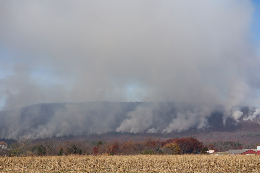
Low humidity and wind gusts could cause any fire that’s ignited to spread Saturday in the Lehigh Valley.
The National Weather Service in Mount Holly, New Jersey, said humidity values will drop 25-35% in the afternoon, and there could be winds with gusts of up to 20-25 mph. Those conditions, combined with continued drying of fine fuels, could support the “rapid spread” of any fires.
Conditions should improve during the evening. Forecasters discourage any outdoor burning.
Lower Mount Bethel Township, Weisenberg Township and Lynn Township are under burn bans Saturday.
The Department of Conservation and Natural Resources said Lehigh, Northampton, Carbon, Monroe, Berks, Bucks, Schuylkill and Montgomery counties are under a high risk of wildfire danger Saturday. Under that risk, fires could spread rapidly and would be hard to control, the DCNR said.
Saturday marked the second time this week that the weather service issued a special weather statement warning of increased fire risk. A similar statement was issued Thursday.
The rest of the weekend should be in the 60s and clear. Temperatures are expected to rise into the 80s next week.
Here is the extended forecast from the National Weather Service:
Sunday: Increasing clouds, with a high near 63. Calm wind becoming south around 5 mph in the afternoon.
Monday: A slight chance of showers after 2 p.m. Mostly cloudy, with a high near 77. Southwest wind 5 to 15 mph. Chance of precipitation is 20%.
Tuesday: Partly sunny, with a high near 82.
Wednesday: Partly sunny, with a high near 86.
Thursday: Partly sunny, with a high near 86.
Friday: Partly sunny, with a high near 78.