
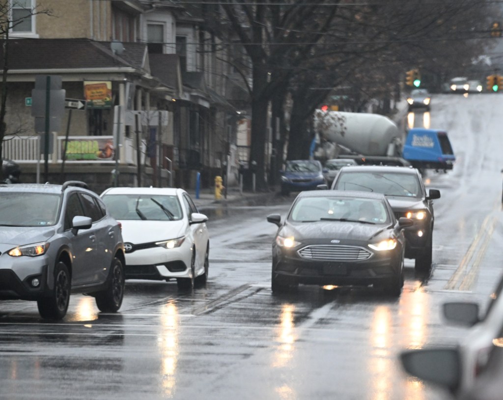
A cold front is expected to bring some light rain Wednesday to the Lehigh Valley.
The front will move from west to east, and rain should begin later in the morning, according to the National Weather Service in Mount Holly, New Jersey. Severe weather is not likely, but there could be some isolated thunderstorms, forecasters said.
Between a quarter of an inch and half an inch of rain could fall through the day.
“Showers will move into our area later this morning, slowly pushing through towards the coast as the day goes on,” meteorologists wrote Wednesday in their daily forecast discussion. “It won’t be the nicest early May day but it won’t be a total washout either, especially for areas south and east of the I-95 corridor.”
Any rain that falls would be beneficial. Lehigh and Northampton counties are under drought conditions, according to the U.S. Drought Monitor.
Both counties have had about 4 inches below normal rainfall over the past six months, weather service data states.
Good morning! We see some rain later today as showers slowly move through the area. Temperatures get into the upper 60s/low 70s later today. #NJwx #MDwx #DEwx #PAwx pic.twitter.com/SewJhSACUX
— NWS Mount Holly (@NWS_MountHolly) May 6, 2026
Thursday and Friday should be clear, with highs in the 60s. Rain could return to the area over the weekend.
Here is the extended forecast from the National Weather Service:
Thursday: Cloudy through mid morning, then gradual clearing, with a high near 65. Northwest wind around 5 mph.
Friday: Sunny, with a high near 64. West wind 5 to 10 mph, with gusts as high as 20 mph.
Saturday: Showers likely, mainly between 8 a.m. and 2 p.m. Mostly cloudy, with a high near 67. Chance of precipitation is 70%.
Sunday: A chance of showers after 2 p.m. Mostly sunny, with a high near 77. Chance of precipitation is 30%.
Monday: A chance of showers. Mostly cloudy, with a high near 65. Chance of precipitation is 50%.
Tuesday: Mostly sunny, with a high near 65.