
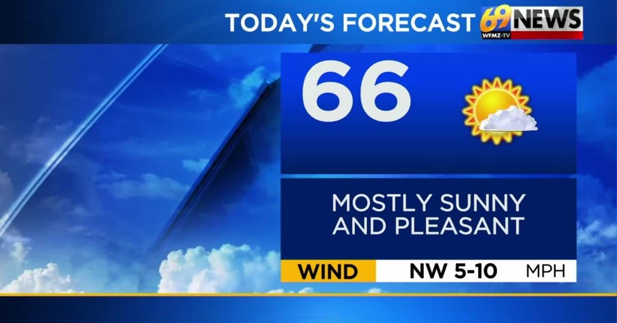
SHORT TERM FORECAST
TODAY: Mostly sunny and pleasant. High: 66
TONIGHT: Increasing clouds. Low: 48
WEDNESDAY: Cloudy with showers arriving in the afternoon. High: 67 Low: 50
FORECAST SUMMARY
After a frosty start for some (and chilly for others) on Tuesday, plenty of sunshine should make for one of the nicer looking days we’ve had in a while, but it will still be a bit cool for this time of year. Our average high for the middle of May should be in the low 70s, and we’ll hold in the low to mid 60s over the next few days. Wednesday gets the nod as the wettest day of the week, as low pressure brings some occasional showers and perhaps a thunderstorm along with it, especially Wednesday afternoon and overnight. That low may stall out to our east over New England for Thursday and Friday, far enough away to keep most of the wet weather out that way, but close enough to keep some lingering clouds and perhaps a few spotty showers later this week. Come the weekend, that pesky low should depart, winds should shift, and a warm up should develop. We’ll welcome one of the nicer looking weekends we’ve had in a while, with partly sunny skies and highs climbing through the 70s as the weekend progresses, all the while staying mostly dry. The warm up could peak early next week with some 80° warmth.
DETAILED FORECAST
TUESDAY
Today will be the sunniest day of the week, with mostly sunny skies expected from start to finish. After a chilly start with some patchy frost, that abundant sun should allow for a nice recovery by afternoon, with highs expected to be in the mid 60s. That’s still a bit cool for this time of year, but an improvement compared to Monday. Clouds will increase Tuesday night, which will keep temperatures much less chilly than Monday night, with lows forecast to be in the upper 40s.
WEDNESDAY
Wednesday will bring the highest rain chances of the week, but won’t be a soaker or a washout. Rather, expect a mostly cloudy day, with highs inching up into the upper 60s to near 70 degrees. As a low pressure and cold front approach from the west, some occasional rain showers will develop. While some scattered showers are possible in the morning, there’s a better chance for them to be more widespread in the afternoon and evening. As the cold front approaches, an evening thunderstorm can’t be ruled out either. Rainfall amounts look to be around a ¼ to a ½ inch, similar to recent rainmakers we’ve had.
THURSDAY AND FRIDAY
As our low pressure shifts east to New England, perhaps slowing a bit, the wettest weather will be in the rearview mirror and to our east. However, that low will stall and slow close enough to give us some extra clouds and at least the chance for scattered showers at times on Thursday, more likely the farther east you go. So New Jersey and areas east of the Lehigh Valley will have the best chance for cloudier skies and scattered showers hanging on, while areas farther west could end up mostly dry on Thursday. Highs should remain in the 60s for a few more days, as we continue to remain on the cooler side of average all week. By Friday, we should trend partly sunny and mainly dry, though stay a bit cool.
THIS WEEKEND
It’s always nice when the weekend is the nicest part of the forecast, and that may be the case for the upcoming weekend. It’s certainly the warmest part of the forecast, with highs climbing into the mid 70s on Saturday, and upper 70s on Sunday. And at least for now, we look mostly dry with a mix of sun and clouds both Saturday and Sunday. 80° warmth is possible on Sunday, and more likely on Monday to start next week.
TRACK THE WEATHER:
LINKS: HOUR BY HOUR | RADAR | TRAFFIC