
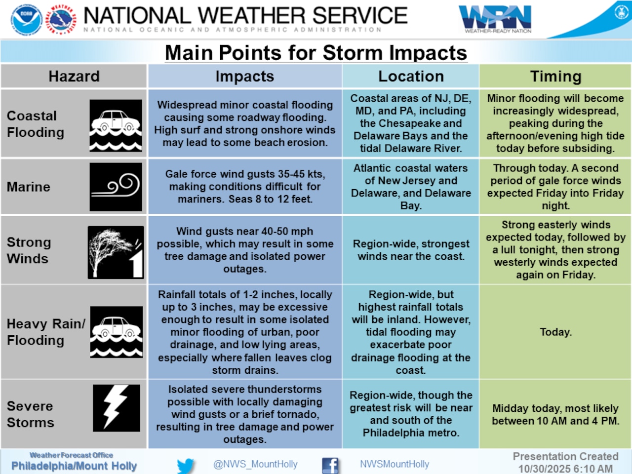
A powerful storm system will bring widespread moderate to heavy rainfall and strong winds to the Lehigh Valley on Thursday.
East winds 20-25 mph could gust up to 35-40 mph, with rainfall totals possible between 1.25 and 2.5 inches through Thursday night.
The National Weather Service forecasts the rain that began early Thursday morning will continue through midday, with the heaviest precipitation expected between 9 a.m. and noon.
The storm system could produce brief periods of heavy rain and isolated thunderstorms, though flooding risks remain minimal due to recent dry conditions.
As of Thursday morning, the weather service had not issued any advisories or alerts for the Lehigh Valley, though Coastal Flood Advisories extended from the Jersey Shore and South Jersey west into Bucks County.
Temperatures are expected to remain in the mid-50s to around 60 throughout the day in the Lehigh Valley.
Residents should prepare for wet and windy conditions by securing loose outdoor items and being cautious of potential tree branches or debris. The wind and rain could create hazardous driving conditions, especially during the morning commute.
The storm will begin to clear by Thursday afternoon, with winds shifting to the west-southwest. Sustained winds of 15-25 mph could gust up to 45-50 mph on Friday.
Friday will be cooler and drier, with partly cloudy skies and highs in the mid to upper 50s. Breezy conditions are expected to linger into Friday night, with west winds 15-20 mph gusting to 35 mph in the Lehigh Valley.
The weekend looks more tranquil, with partly to mostly clear skies and temperatures reaching the mid to upper 50s. Overnight lows are forecast in the low 40s through Saturday morning before dipping to the mid-30s through the weekend.
Long-range forecasts suggest a period of dry, near-seasonal conditions will follow the storm, with high pressure building into the region and maintaining stable weather through early next week.
Follow your local forecast from AccuWeather at lehighvalleylive.com/weather with National Weather Service watches, warnings and other advisories available as they’re issued at lehighvalleylive.com/weather-alerts.
Current weather radar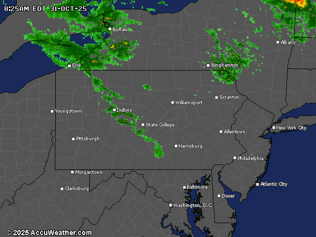
Generative AI was used to produce an initial draft of this story, which was reviewed and edited by lehighvalleylive.com staff.
If you purchase a product or register for an account through a link on our site, we may receive compensation. By using this site, you consent to our User Agreement and agree that your clicks, interactions, and personal information may be collected, recorded, and/or stored by us and social media and other third-party partners in accordance with our Privacy Policy.