
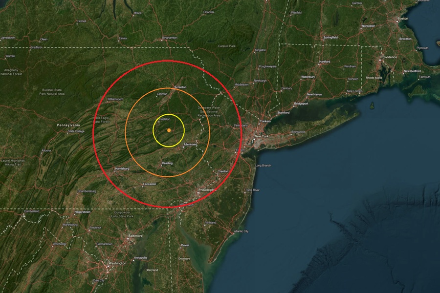
 The epicenter of the earthquake was at the orange dot inside the colored concentric circles on the map. Image: USGS
According to USGS, a relatively weak earthquake struck eastern Pennsylvania during the overnight hours in on the northern fringe of an area known as the Lancaster Seismic Zone. At 12:32 am, USGS reported a magnitude 1.8 earthquake from a depth of 5 km near Lehighton, Pennsylvania. Leighton is located half way between Reading and Scranton in Pennsylvania.
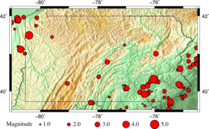 Pennsylvania is no stranger to earthquakes; this map shows earthquakes in Pennsylvania from January 1970 to June 2015. Image: USGS
Since colonial times, people in the Lancaster seismic zone of southeastern Pennsylvania have felt small earthquakes and suffered damage from larger ones.
“Earthquakes are felt once or twice per decade, with some decades having none and the 1990s having as many as six,” USGS wrote in an update on the earthquake. The Lancaster Seismic Zone is the most active seismic zone in the Commonwealth of Pennsylvania. This seismic zone has produced a number of moderate earthquakes in the past and has been routinely active over at least the last 200 years.
Earthquakes in the central and eastern United States, although less frequent than in the western U.S., are typically felt over a much broader region. East of the Rockies, an earthquake can be felt over an area as much as ten times larger than a similar magnitude earthquake on the west coast. A magnitude 4.0 eastern U.S. earthquake typically can be felt at many places as far as 60 miles from where it occurred, and it infrequently causes damage near its source. A magnitude 5.5 eastern U.S. earthquake usually can be felt as far as 300 miles from where it occurred, and sometimes causes damage as far away as 25 miles.
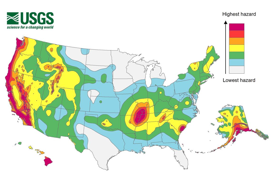 Earthquake hazards are possible in broad areas of the United States. Earthquake hazard map showing peak ground accelerations having a 2 percent probability of being exceeded in 50 years, for a firm rock site. The map illustrates such hazards and is based on the most recent USGS models for the conterminous U.S. (2018), Hawaii (1998), and Alaska (2007). Image: USGS