

Utility companies serving the Lehigh Valley region and western New Jersey reported thousands of outages Friday afternoon as gusty winds blew through the area.
A Wind Advisory remains in effect for an area including Lehigh, Northampton and Warren counties until midnight Friday, Oct. 31, according to the National Weather Service.
Salisbury Township School District in Lehigh County announced an early dismissal Friday due to a power outage.
Across the border in Northampton County, nearby Lower Saucon Township reported Springtown Hill Road closed near Orchard Road due to a tree and wires down and Drifting Drive closed between County Line Road and Macarro Way after a tree came down on wires.
As of mid-afternoon, PPL Electric Utilities reported 2,685 outages across Bucks, Carbon, Lehigh, Monroe and Northampton counties, with Bucks and Lehigh counties hardest-hit at more than 900 outages each.
FirstEnergy Corp.’s Met-Ed reported 699 outages in Bucks County, 146 in Monroe and 58 in Northampton.
Across the Delaware River, FirstEnergy’s JCP&L reported 966 outages in Hunterdon County and 1,624 in Warren County.
The weather service reported west winds peaking with a gust of 40 mph shortly before noon at its climate station at Lehigh Valley International Airport outside Allentown.
The service’s forecast calls for sustained west winds of 20 to 30 mph, potentially gusting to 45-50 mph across the region. These powerful winds are associated with a strong surface low pressure system near eastern Canada and a deep upper-level trough over the Northeast.
Residents should secure loose outdoor items and be prepared for potential wind-related disruptions. Halloween trick-or-treaters are advised to dress warmly and be aware of potential flying debris.
Wind speeds are expected to diminish after sunset, dropping to less than 10 mph by early Saturday morning. Temperatures will cool down, with overnight lows in the low to mid-40s.
Saturday will bring continued breezy conditions, with west winds increasing to 10 to 15 mph and gusts up to 20 mph, and afternoon highs reaching the upper 50s to around 60 degrees, according to the weather service forecast.
Follow your local forecast from AccuWeather at lehighvalleylive.com/weather with National Weather Service watches, warnings and other advisories available as they’re issued at lehighvalleylive.com/weather-alerts.
Current weather radar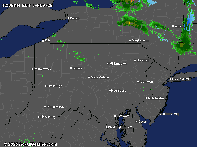
Generative AI was used to produce an initial draft of part of this story, which was reviewed and edited by lehighvalleylive.com staff.
If you purchase a product or register for an account through a link on our site, we may receive compensation. By using this site, you consent to our User Agreement and agree that your clicks, interactions, and personal information may be collected, recorded, and/or stored by us and social media and other third-party partners in accordance with our Privacy Policy.