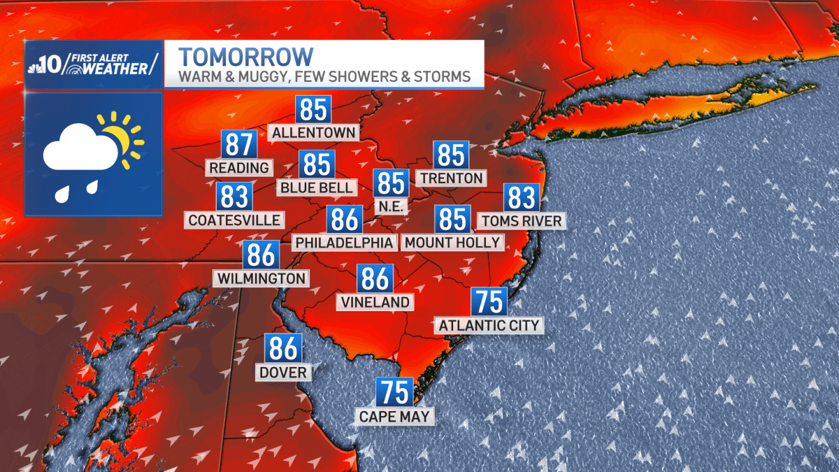
After a beautiful Monday and Tuesday, a warm front will lift north of our region and allow for more humid and at times damp conditions for the next few days.
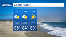
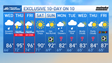
Expect increasing clouds with a mild breeze overnight with lows in the low to mid 60s. Wednesday will be warm and muggy with a few scattered showers and isolated storms. Highs will be in the mid 80s inland but low to mid 70s down the shore.
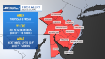
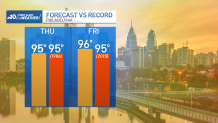
Record-tying and/or record breaking heat will be with us for Thursday and Friday with highs in the mid 90s. Thanks to high humidity, feels like temperatures will reach up to 102°. Both days offer the opportunity for scattered showers and storms, especially in the afternoon and evening.
Then a cold front swings through our region for Saturday. Saturday will still be hot with a high around 90 but humidity falls during the day. Sunday will also be hot but not humid with highs in the low 90s.
Stream Philadelphia News for free, 24/7, wherever you are with NBC10.
 WATCH HERE