
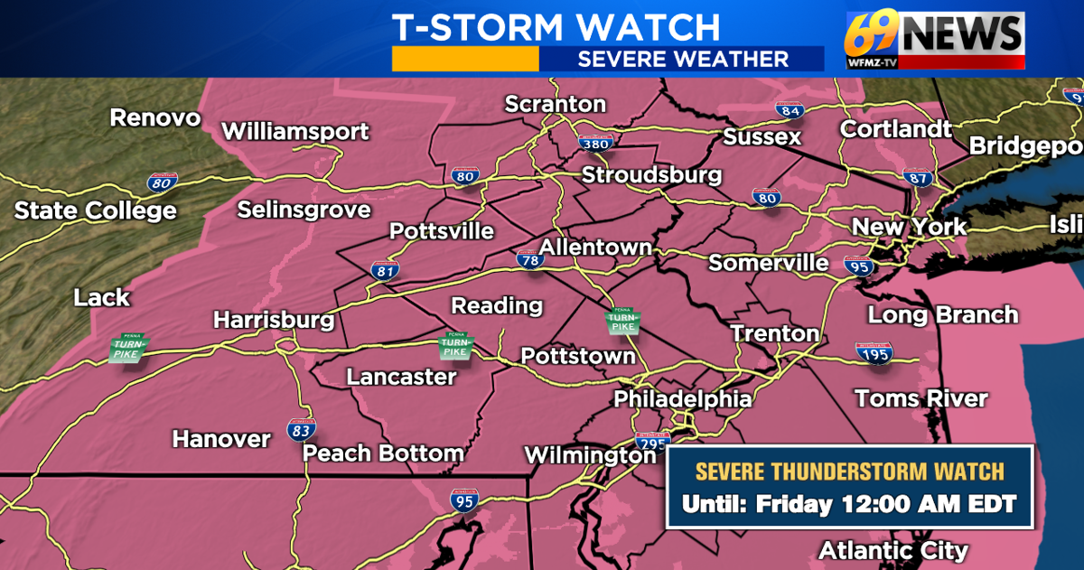
It’s been a very hot and humid Thursday with highs in the low to mid 90s and dew points at or above 70 making for real feel temps around 100 degrees. This heat and humidity has also fueled a lot of instability in the atmosphere and as an upper level piece of energy tracks eastward into our region and clashes with this hot, humid, and unstable air, it leads to a gusty thunderstorm threat.
A Severe Thunderstorm Watch has been issued for the entire region through late this evening. A watch highlights the potential for a few severe thunderstorms capable of strong and damaging wind gusts of 58mph or greater and large hail of 1″ in diameter or greater. Any thunderstorm, severe or not, can produce heavy downpours and frequent lightning. The entire region is also highlighted under a “slight” risk for severe weather through this evening…a level 2 out of 5.
What we are closely tracking is a line of strong t-storms in central Pennsylvania moving east towards our region. This line will enter the I-81 corridor roughly by 8-9pm, then Berks, the Lehigh Valley, and far eastern Pennsylvania by 9-10pm, and finally the I-95 corridor by 10-11pm. After 10 or 11pm, the severe threat should be over with as storms fizzle or move away to the east. Not everyone will definitely see severe thunderstorm criteria, but the potential for a few stronger storms is certainly there given the high heat and humidity.
Be sure to stay weather aware this evening, and keep an eye on the latest radar and warnings through your 69News StormCenter App on your mobile phone. Meteorologist Clayton Stiver will be tracking the storms through the evening on 69News and the 69News Weather Channel as well.
Friday will be another very hot and humid day with again a potential for some severe weather later in the afternoon and evening as a cold front tracks in from our west.
TRACK THE WEATHER:
LINKS: HOUR BY HOUR | RADAR | TRAFFIC