A dangerous heat and humidity combination will continue to grip the Lehigh Valley through Friday, with heat index values reaching 95 to 105 degrees.
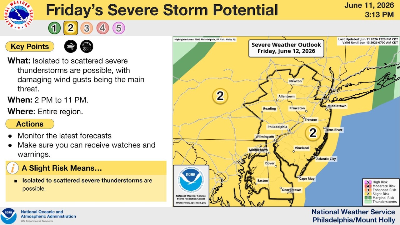
Severe thunderstorms are possible Friday afternoon, with damaging winds as the primary threat, according to the National Weather Service.
High temperatures are forecast to reach the low to mid-90s Friday, with dewpoints in the upper 60s to low 70s creating oppressive conditions.
A Heat Advisory remains in effect through 8 p.m. Friday for Lehigh and Northampton counties and surrounding areas.
The National Weather Service warns that this level of heat and humidity can become dangerous quickly for sensitive individuals and those spending extended periods outdoors.
Temperatures reached 93 degrees Thursday at Lehigh Valley International Airport, according to preliminary data from the National Weather Service. Combined with relative humidity, heat index values rose to 101 degrees.
High temperatures Friday are forecast as potentially slightly warmer than Thursday.
Following scattered showers and thunderstorms Thursday night, Friday will bring another round of severe thunderstorm potential as an upper-level trough and cold front approach from the west.
Showers and thunderstorms are most likely near and ahead of the cold front, with the entire region under a Slight Risk (2 out of 5) for severe weather.
The cold front moving through late Friday will provide significant relief heading into the weekend.
Temperatures are forecast in the upper 80s to mid-90s over the weekend, but more importantly, dewpoints will fall into the 50s, making conditions much more comfortable.
While it will still be hot, the humidity will be significantly reduced and no additional heat advisories are expected.
Another cold front will approach Sunday night, bringing scattered showers and thunderstorms.
This system will usher in a much more seasonable airmass for early next week, with highs in the upper 70s to mid-80s Monday through Wednesday and lows in the mid-50s to low 60s. Dewpoints in the 50s and low 60s will provide pleasant conditions through the middle of next week.
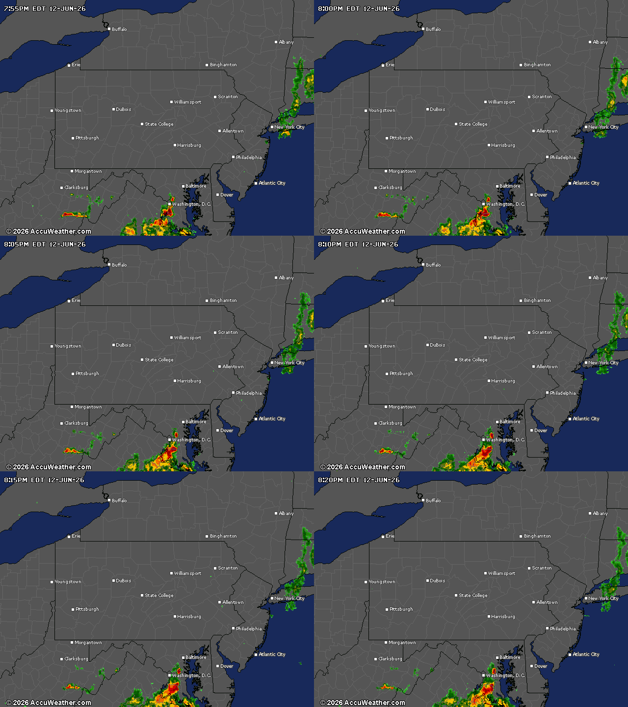
Current weather radar