
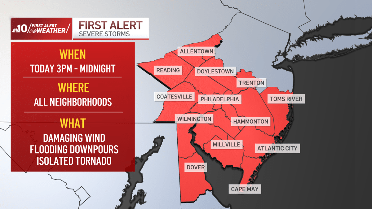
A First Alert for severe storms and flash flooding is in effect for this afternoon and this evening.
An approaching cold front is moving our way with gusty winds ahead of the front bringing in very high levels of moisture that will help fuel the storms this afternoon and evening.
The possibility of torrential downpours, damaging wind, and even an isolated tornado as those storms take shape.
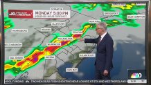
Our First Alert runs from 3 p.m. to midnight.
A few severe thunderstorms could develop during the midafternoon hours, but at this time the greater threat appears to be the evening hours with a combination of heavy rain, damaging wind, and that isolated tornado threat.
These storms could impact Monday afternoon’s FIFA World Cup match at Lincoln Financial Field — AKA Philadelphia Stadium — between France and Iraq.
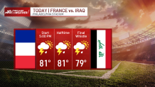
NBC10’s Siobhan McGirl has the latest as severe storms and damaging winds are expected across the region on Monday afternoon, just as France and Iraq are set to take on each other in a FIFA World Cup match at The Linc — aka Philadelphia Stadium.
Storms will likely be more widespread during the evening.
Monday’s high will be 85°.
Showers will diminish overnight, but the cold front will be slowly pushing through the area Tuesday so we could see some scattered showers during the day.
Not expecting any severe weather for Tuesday with some late day sunshine. Temperatures drop back to near 80° Tuesday.
Wednesday and Thursday will be nice June days with partly to mostly sunny skies and low humidity, highs in the 80s.
Then, at the end of the week Friday into the first half of the weekend, the chance of showers and thunderstorms returns.