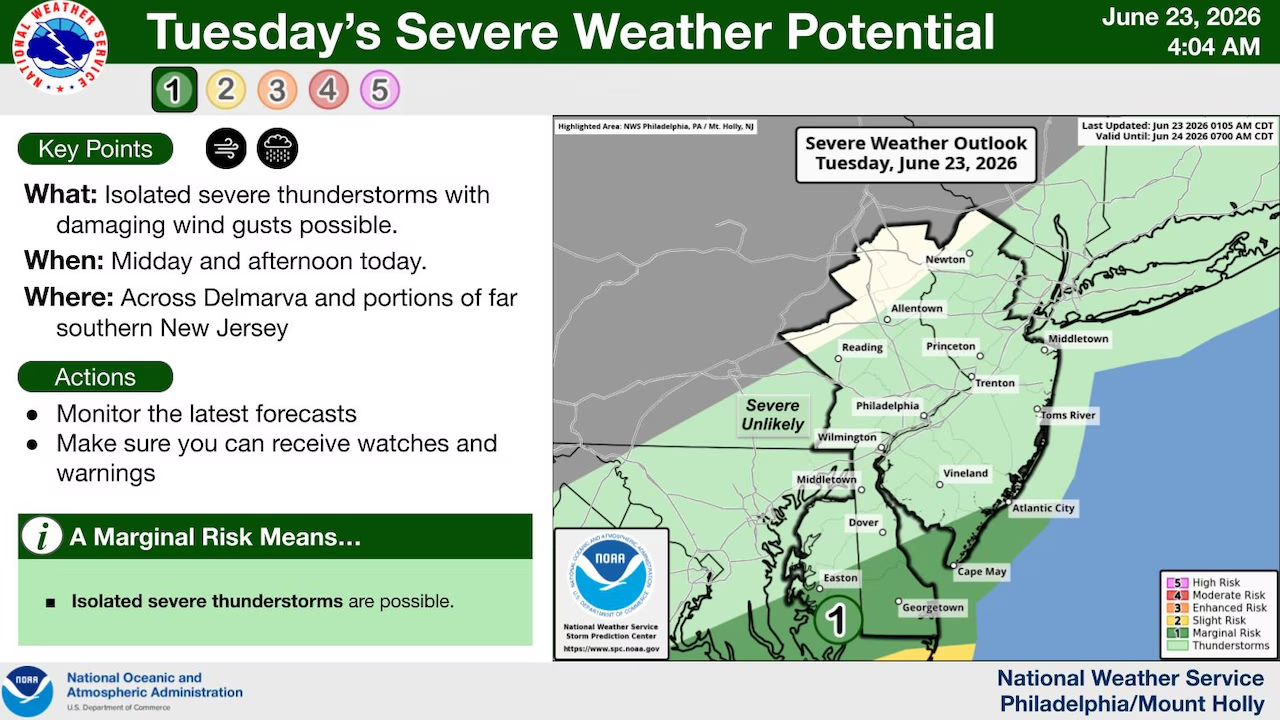
Low pressure continues to move through the Lehigh Valley region Tuesday, bringing additional rounds of showers and possibly thunderstorms, according to the National Weather Service forecast.
While the primary risk for severe weather and flash flooding is expected to shift southward into the Delmarva peninsula, residents should remain prepared for thunderstorms until mid-afternoon and gusty winds.
Showers and storms will develop in waves Tuesday morning, with the heaviest rain potential occurring during afternoon hours.
Cooler, more stable air north of Philadelphia should limit severe weather potential in the Lehigh Valley and northern portions of the forecast area compared to areas farther south.
Northerly winds will develop around 5 to 10 mph by late morning. The system should finally move out Tuesday night, with northerly wind gusts potentially reaching 20 to 25 mph overnight into Wednesday.
Wednesday will bring a break in the weather with sunny skies, though breezy conditions are expected with northwesterly winds around 10 mph and afternoon gusts up to 20 mph.
Another cold front will approach the region late this week, bringing renewed chances for showers and storms beginning as early as late Thursday and continuing through Friday into Saturday.
Winds from the southwest ahead of the front will provide ample moisture, though the best forcing is expected to remain north of the Lehigh Valley, which could limit how widespread significant rainfall becomes with this system.
The timing of these showers and storms remains uncertain and will determine what hazards develop.
The front may linger in the area through next weekend, potentially keeping afternoon and evening shower and storm chances in the forecast, though uncertainty remains regarding this possibility.
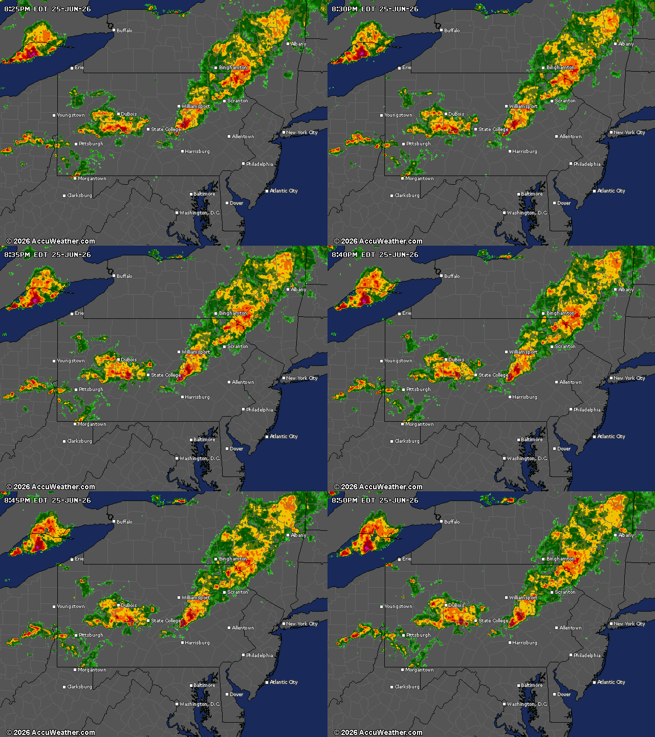
Current weather radar