
Warming in the Pacific Ocean has already brought El Niño back to our lives. What’s yet to be determined is exactly how strong the warming will get and whether whispers of a “Super El Niño” will turn into a reality, bringing potentially intense global weather to bear this summer and fall.
To be clear, Super El Niño is not a term all meteorologists use. The official scientific scale that measures how intense a warming cycle is, is weak, moderate, strong or very strong. What is potentially on the horizon is a very strong El Niño, one that could reach levels not seen since the 2015-16 season.
Defining an El Niño is fairly straightforward — it means the water in a particular section of the Pacific Ocean has heated up. Once scientists identify that the water has warmed to El Niño level, the question becomes how long the warming cycle will last (typically nine to 12 months) and how intense it will get.
And when meteorologists start talking about historic warming in the Pacific Ocean, the world pays attention. What starts in the Pacific ripples outward.
Across the United States, effects vary. Strong El Niño cycles in the past have led to extreme drought in the Great Plains, while parts of the South saw much higher precipitation.
“El Niño events in 1965-66, 1982-83 and 1997-98 are three of the strongest events in recorded history defined as ‘Super El Niños.’ Following those events, especially dry conditions led to, or exacerbated drought across many areas of the Plains,” AccuWeather said in a Tuesday news release that warned of a potential “mini-Dust Bowl” scenario.
“In some cases, those conditions remained for years, even after the El Niño ended. AccuWeather experts believe there is a 70% chance the current El Niño could become a Super El Niño later in 2026,” the news release said.
An El Niño also shifts global weather patterns. Typically the warmer water fuels Pacific Ocean hurricanes while dampening the Atlantic hurricane season. Extreme drought conditions have been seen in areas such as the Sahel in northern Africa, southern Africa, Oceania, India and Central America.
What would a Super El Niño look like for eastern Pennsylvania? Here’s a look at what experienced forecasters think we could be in for:
Bring an umbrella to the beach
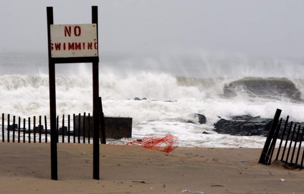
Both Accuweather Senior Meteorologist Chad Merrill and Rich Woolley, a forecaster for Weather Trends International, say the most notable weather trend for our region this summer might be more rainy days at the shore, especially later in the summer.
Many mid-Atlantic coastal areas popular with area vacationers are suffering from significant droughts, especially in the Delmarva beach areas, Merrill said.
“What we expect this summer is that the rainfall will start to pick up, especially during the second half of the summer, and we’ll likely have above-average rainfall,” Merrill said.
“The first part of the summer season for vacationers going to the Delmarva, there’s going to be pockets of rain, but that will be followed by an extended period of dry weather. And then, as we get into late July into August, there will likely be more days of rain and fewer days of dry weather.”
Slightly dampened summer heat
Although Woolley said he expects to see summer temperatures below average, he acknowledged that the starting point for “average temperatures” locally has risen as climate change has moved the goal posts on what is considered a normal starting point.
That means we likely won’t see the intense, sustained highs we saw last summer, but that also means we’re not necessarily in for “cool” weather.
“It may not be cooler than average, may still be above average, but not like what we’ve seen the last couple years where they’re just hot — so, just boiling hot,” Woolley said.
The pattern we’ve seen in the early summer “is telling us a tale,” Woolley said, explaining he believes the area will continue to see cooler weeks interspersed with “a pop of heat” that lasts for two or three days.