
Wednesday was the second day of what should be a 6-day heat wave that will run through Sunday, encompassing the entire Fourth of July holiday weekend. But Wednesday was also the first of 4 days of intense heat and oppressive humidity levels, which when combined will drive the heat index, or what it feels like outside, to as high as 110 degrees each afternoon through Saturday.
Actual high temperatures may flirt with and even eclipse the 100-degree mark Thursday and Friday afternoons, a feat that certainly doesn’t happen every summer. In fact, the last time the Lehigh Valley officially reached 100° was back in late July of 2011.
Extreme heat warnings continue through Saturday, and the 90-degree heat will last an extra day into Sunday, even though the intensity of the heat will back off just a bit.
There’s been a spotty thunderstorm or two Wednesday afternoon, and there could be another spotty thunderstorm chance later Friday. Thursday looks entirely dry with no storms to cool you off and provide some drought relief. However, thunderstorm chances will rise over the weekend itself. Neither Saturday or Sunday looks to be a washout, and most of each day will feature hazy sunshine and plenty of heat and humidity. But later Saturday afternoon (40% chance) and later Sunday afternoon (60% chance), some scattered showers and gusty storms can pop up. Given the high humidity, heavy downpours and perhaps a stronger storm will also be possible.
The heat wave should be broken on Monday, with an even higher chance for showers and storms, providing some needed cooling and drought relief. Highs on Monday and Tuesday should settle back into the more seasonable mid to upper 80s.
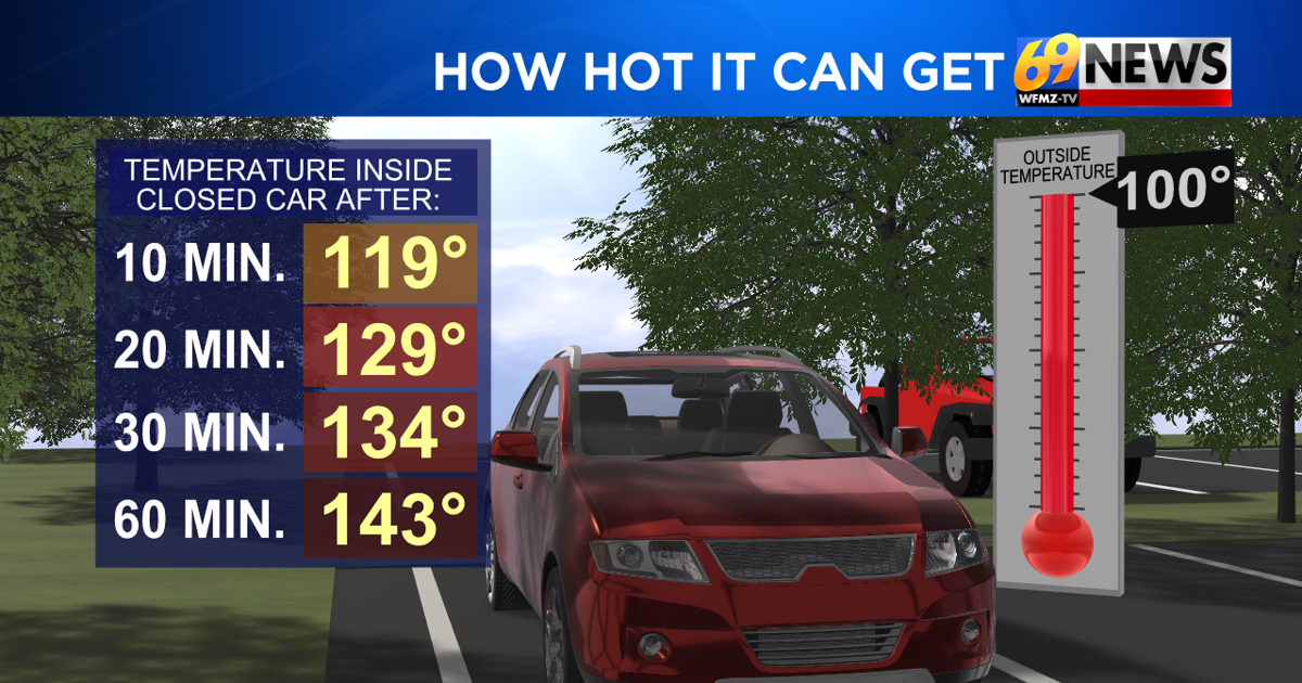
Between now and Saturday, especially given all the outdoor holiday events for the Fourth of July, be sure to exercise extreme caution. Stay hydrated, avoid overexerting yourself, check on the elderly and keep pets inside and cool, and limit your time outdoors, especially during the peak afternoon heating.
This will likely be the hottest stretch of weather we see this summer, and a few record highs may be challenged over the coming days. But record or not, this heat will be extreme, and the heat index even more so given the high humidity. Stay safe, stay cool, and stay hydrated!
TRACK THE WEATHER:
LINKS: HOUR BY HOUR | RADAR | TRAFFIC