
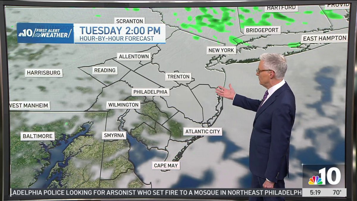
The storm threat is out of here today, but clouds will linger for most of the day keeping us cooler for this time of year.
Our normal high is 88°, we’ll top out at 79° in Philadelphia this afternoon. A little bit of mist and drizzle this morning, but mainly just a cloudy day today.
Sunshine is back with a beautiful day Wednesday, a high of 85° under partly sunny skies.
As we go toward the end of the week, an approaching cold front will bring another chance of some showers and thunderstorms along with more heat and humidity.
Mid 80s Thursday with a chance of some afternoon showers, and a chance of afternoon storms Friday too with a high closer to 90°.
Friday will be our steamiest day of the week with feels like temperatures reaching into the mid 90s.
A few lingering showers Saturday with some late day breaks of sunshine, then partly sunny skies begin a nice sunny stretch Sunday afternoon with a high of 87°.
We could reach the low 90s again next week, but it doesn’t look like another repeat of the extreme heat we saw leading into Independence Day weekend.